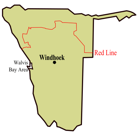
The veterinary cordon fence (VCF), also called the Red Line, runs across Namibia and Botswana, separating the North from the South. It is a physical fence, with several control posts, where it’s checked that you do not transport meat or milk from cloven-hoofed animals (as cattle, buffalo, camels, sheep, goats, deer, and pigs) from north to south. On the map, it is denoted as a red line, hence the name.
There has been occurrences of Foot-and-mouth disease (FMD) in cattle and buffaloes north of the fence, especially in and near the Caprivi strip, and having such strict control in place, allows beef export from south of the VCF to be exported to Europe and other countries.
When that’s being said, the Red Line is highly controversial. Many, including Namibias newly appointed president, has argued that the fence and regulations should be altered, or removed.
In addition to hindering spread of animal disease, the fence bear a history of colonial suppression and negatively affect the people living north of the fence, which is more than half of Namibias population.
Ref. Wikipedia:
“The demarcation was created already in 1986 under German colonial administration, to protect the German farms from an outbreak of Rinderpest, but the physical fence first in place in the early 1960s. It has served as a Police protection of German South West Africa and has also served to facilitate the apartheid movement’s restrictions and influence on people. South of the VCF you’ll find large commercial farms many of whom are white, own the land. North of the line, on the other hand, all farm land is communal and operated mostly by black farmers. Livestock is not constrained by fences and often ventures onto roads”.
Crossing the line
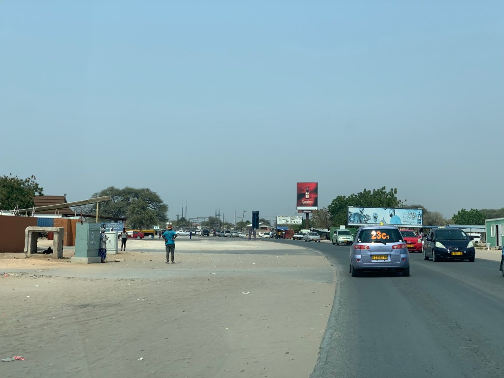
I have mostly seen the part of Namibia south of the VCF, but understand that I’ve missed large parts of the country. I’ve seen large fenced in farms, game parks, restaurants, sea and dunes. What tourists normally like to see, but much of the northern part, is still unexplored, expect for the first edge of the Caprivi strip (Kawango), where the Okavango river crosses Namibia, on the way to the mighty Okavango delta in Botswana, which I will tell you about in another post.
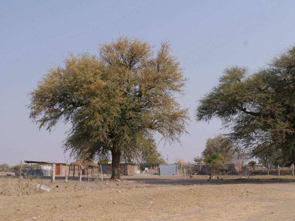
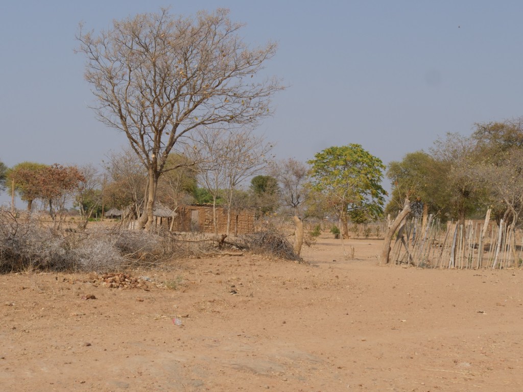
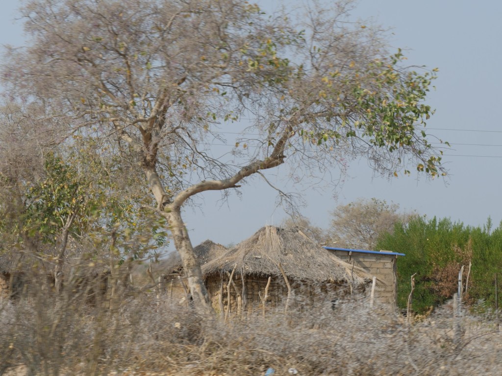
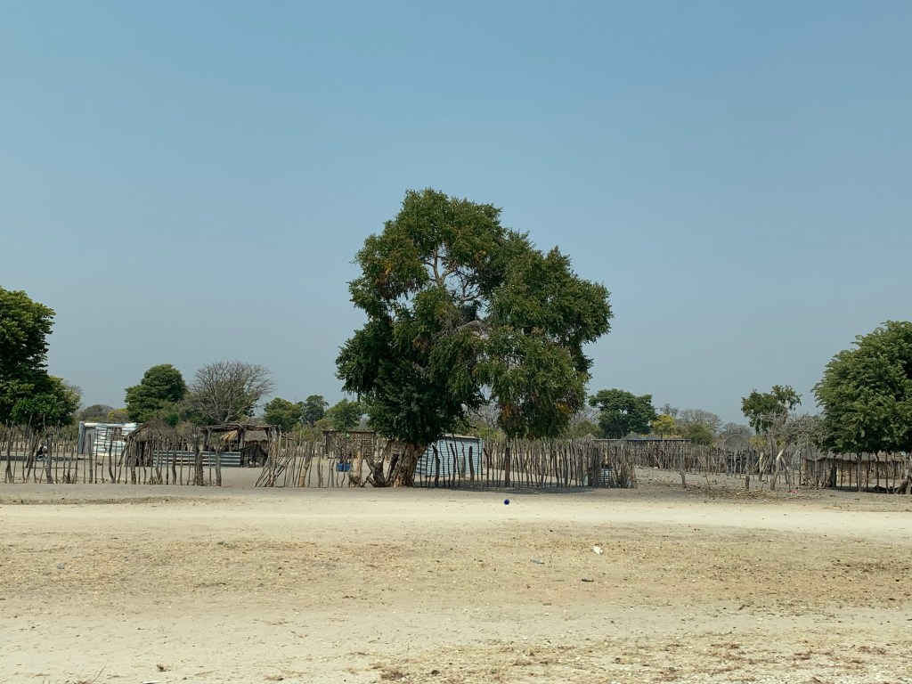
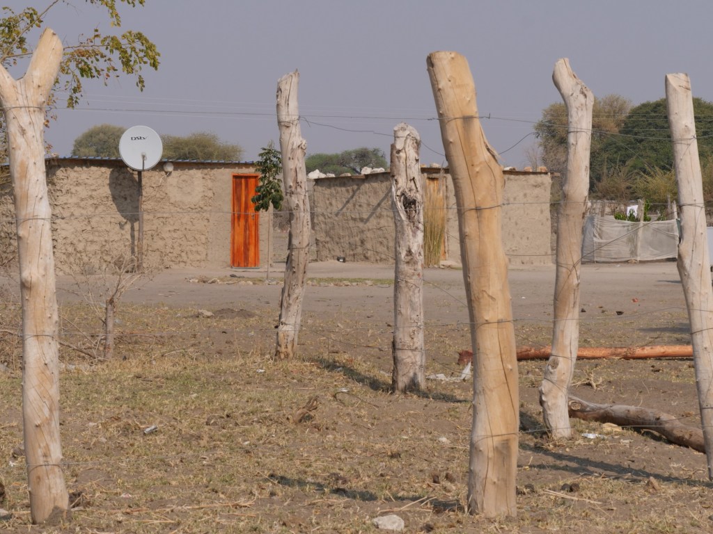
On the way to Kawango, we crossed the fence at Mururani checkpoint and could clearly see the impact it had on the landscape and on how people lived i the northern part, compared to the south. Gone were the game farms and large fences and rather we saw people walking, animals crossing the street and small scattered cabins, often surrounded by a smaller wooden fence to denote the Kraal, to protect people and animals.
How peoples economy was negatively affected by the fence also become very clear. People seemed poorer than south of the fence, which is understandable, if they are not allowed to sell their products or even bring their own food to nearby cities or the capital.
Below is some photos and videos, taken by my husband, Trond Lossius, which show some parts of the Namibia, we saw right North of the fence.
More reading
If you wish to read more about the fence or about travelling in northern part of Namibia or Botswana, you can read the blogs of Tracks4Africa.
You can also follow Namibian newspapers, as The Namibian, Namibian Sun and Republikein, to see how the removal of the fence is progressing.

Leave a comment