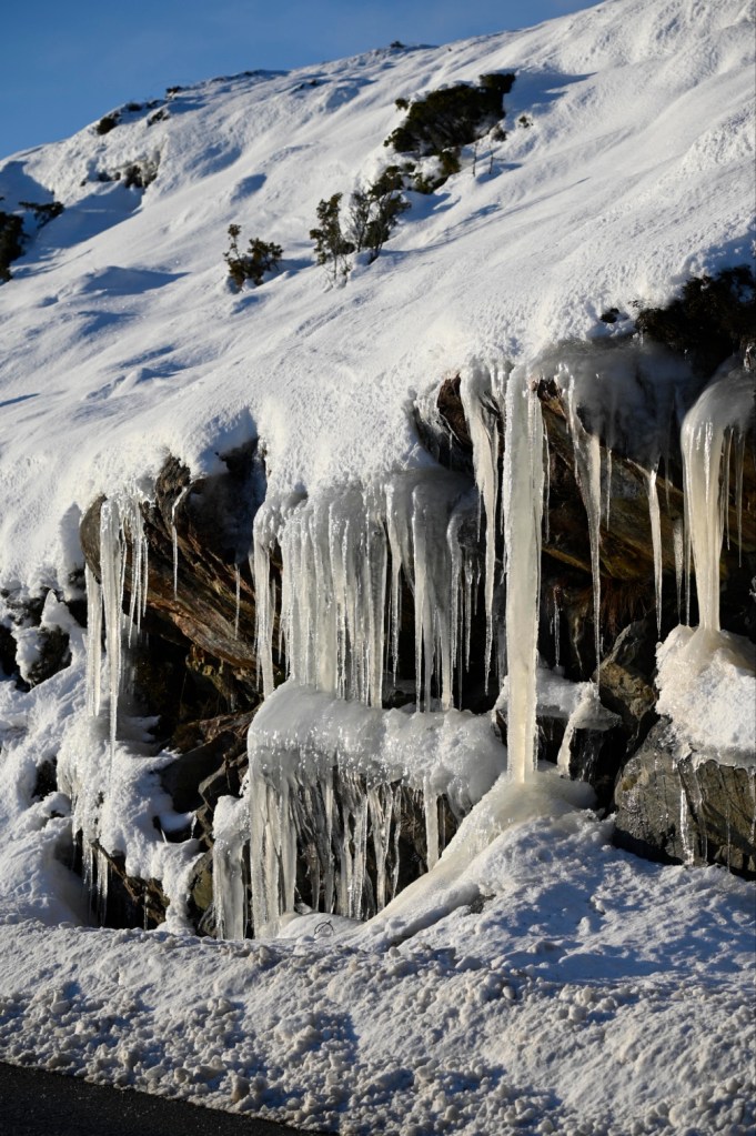
The last week it has been snow in western Norway, in Øygarden where I live.
I’m normally not a winter person, but as the winter here in western Norway often are dark and rainy, the sunny, white days coming together with the snow, often feels like a blessing.
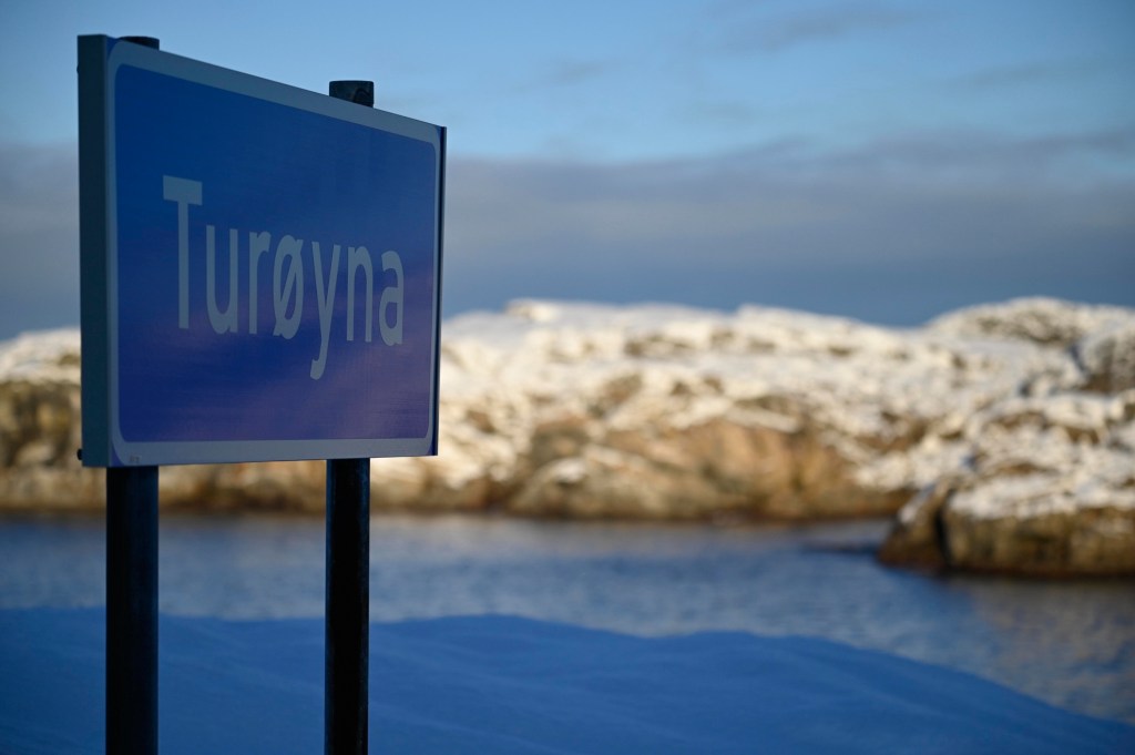
Tur at Turøy
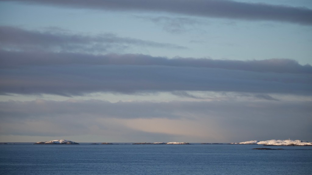
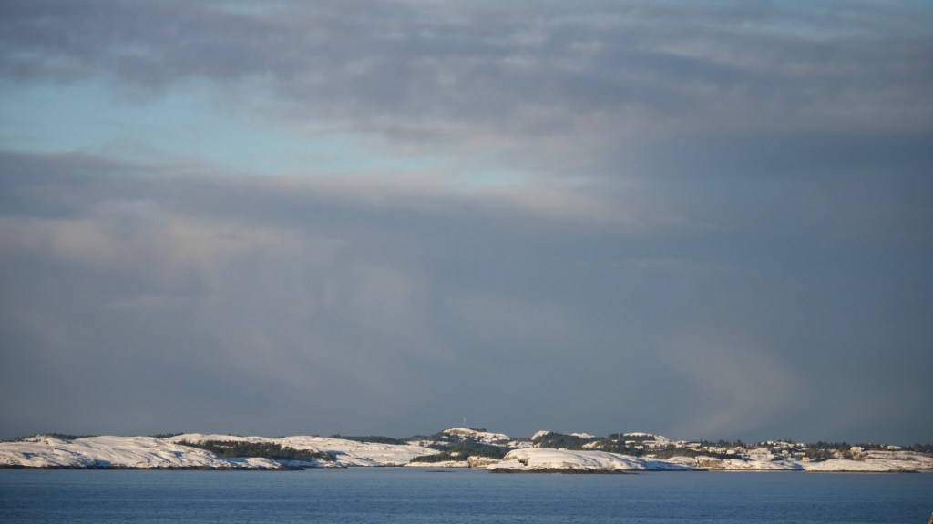
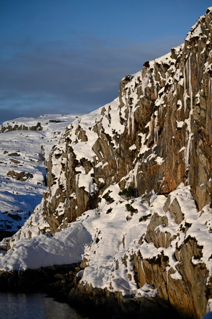
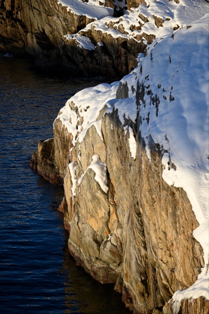
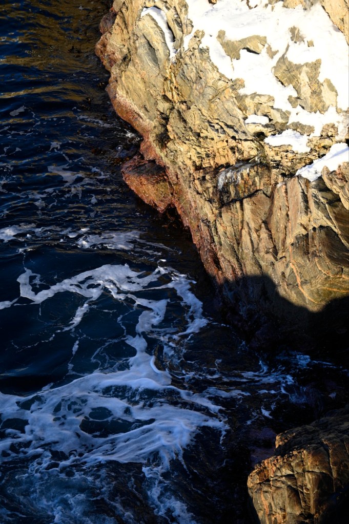
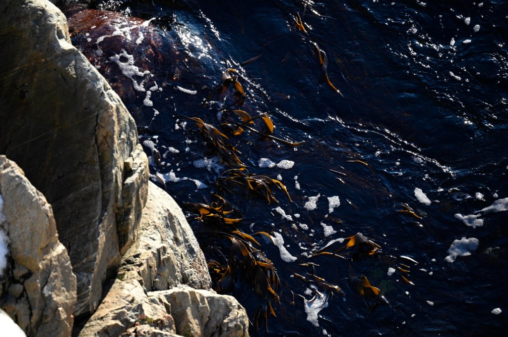
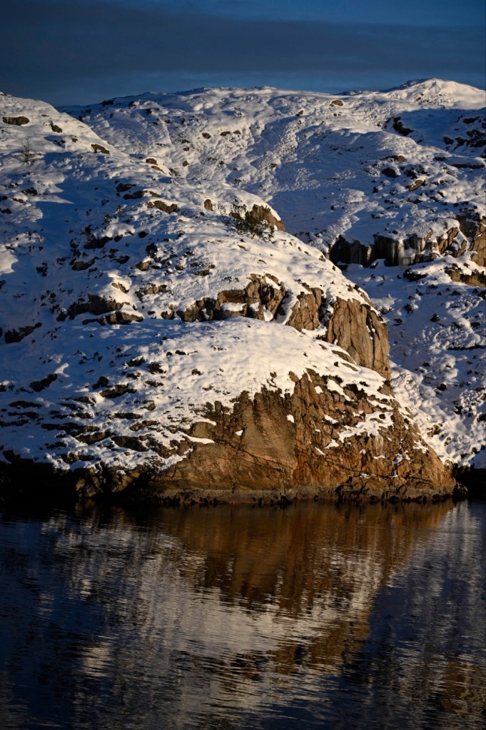
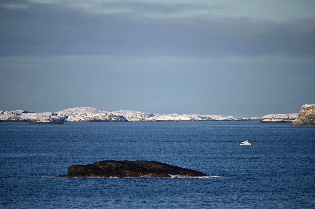
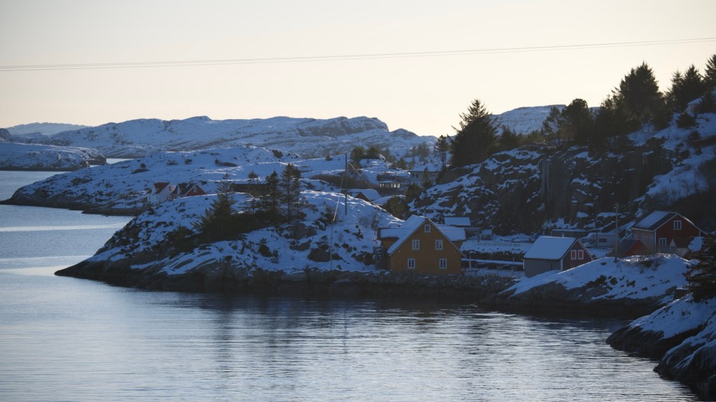
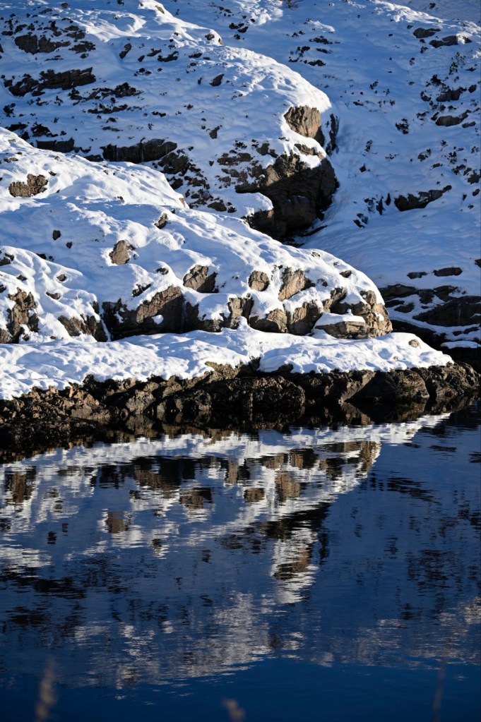
Today, we took our car out to Turøy and went for a walk along the road, over bridges, along the sea and old fishing villages.
“Tur” means “hiking” in Norwegian, and often in an easy, relaxed manner. “Øy” means “island”. The name “Turøy” can thus be translated to “hiking island”.
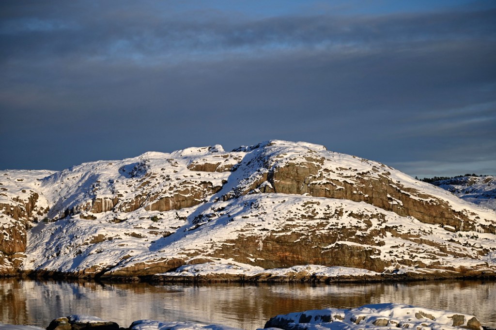
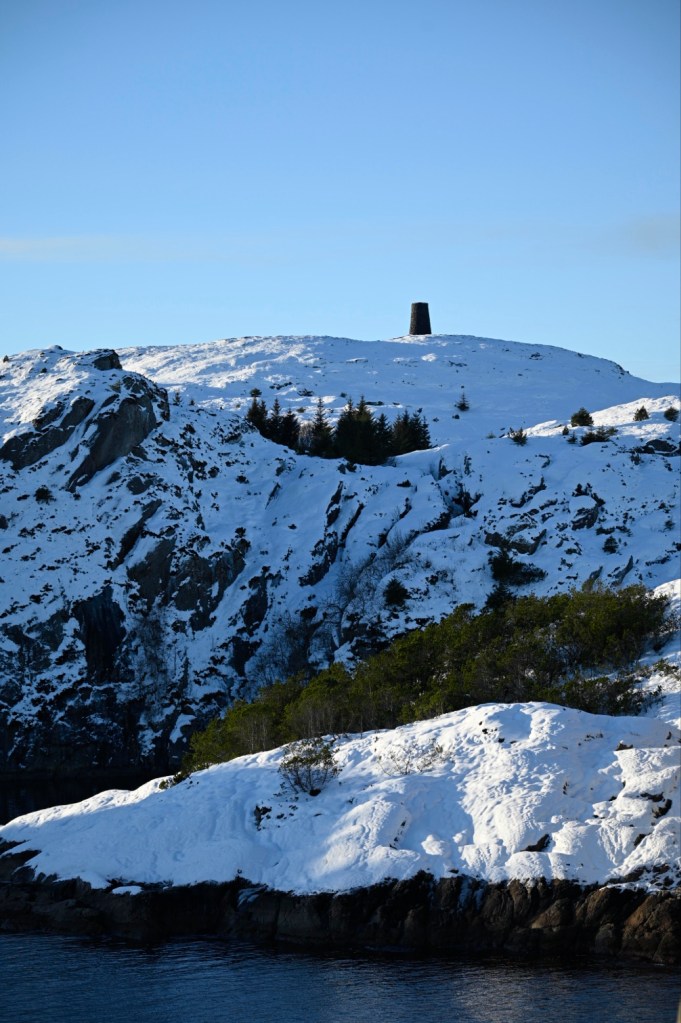
The tallest point at Turøy is “Turøyvarden” at 74.5 m above sea level. It is a 5 m tall black rock cairn from 1896, made as a sea mark.
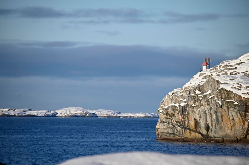
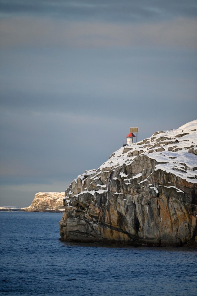
Another sea mark is Storskora lighthouse. Lighthouses are scattered all around the Norwegian coastline, to help the ships with navigating in the rough waters. This might be one of the reasons why Ola Bremnes’ song “Har du fyr” (do you have light?) has become so popular in Norway.
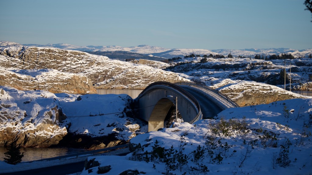
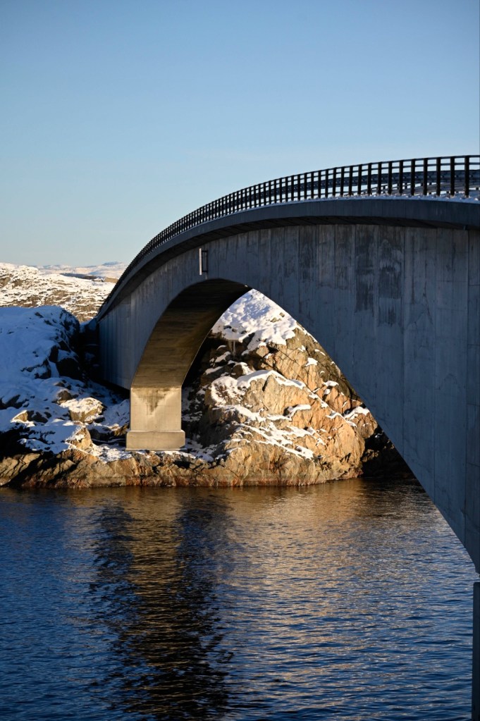
The bridge was made in 1991 and is a beatiful place to watch sea, sky, mountains and fish, as the water is so clear.
In 2016, a helicopter crash at a small islet between Toftøy and Turøy. Several people lost their lives. A memorial has thus been made for the deceased.
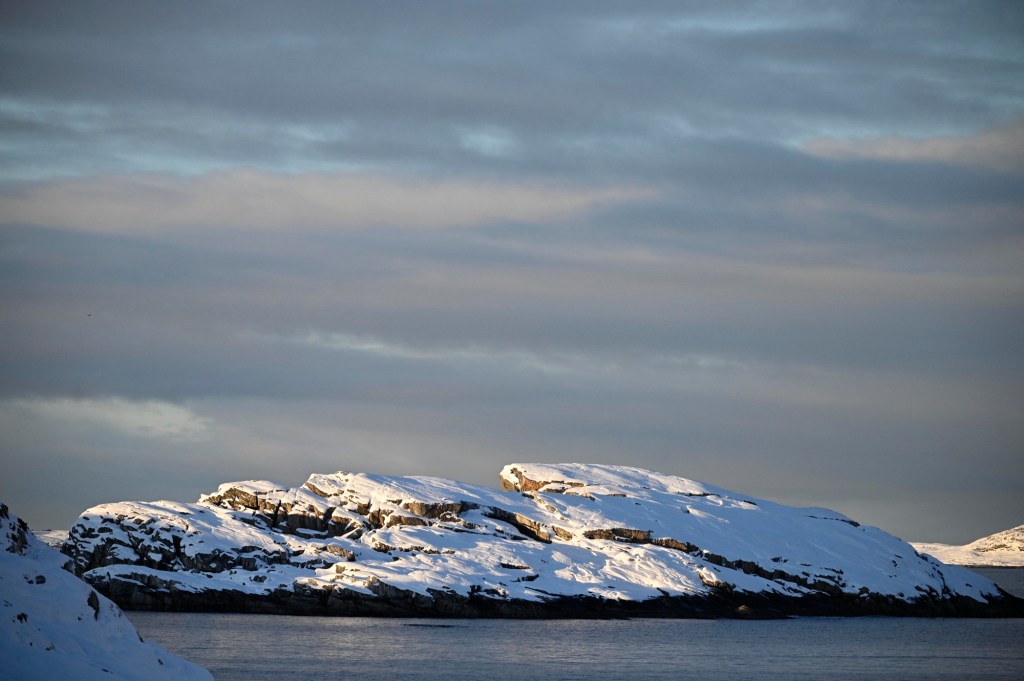
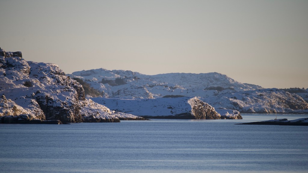
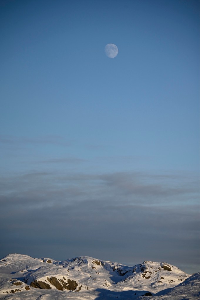
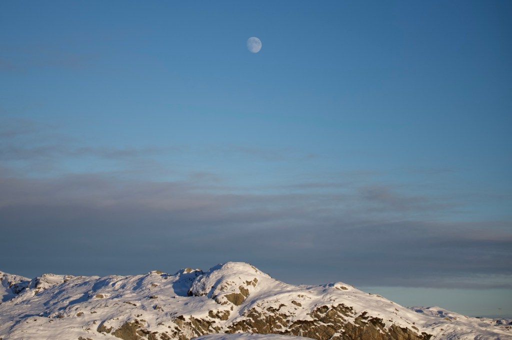
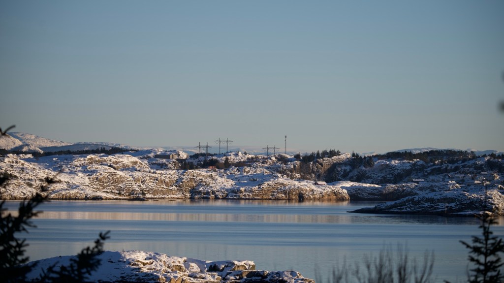
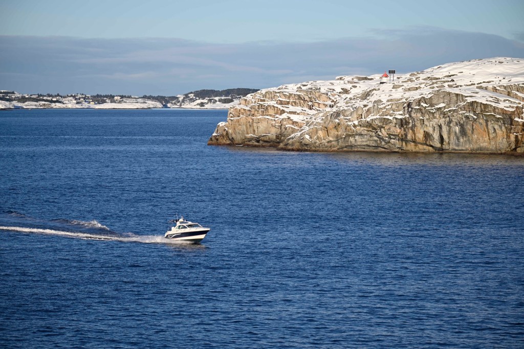
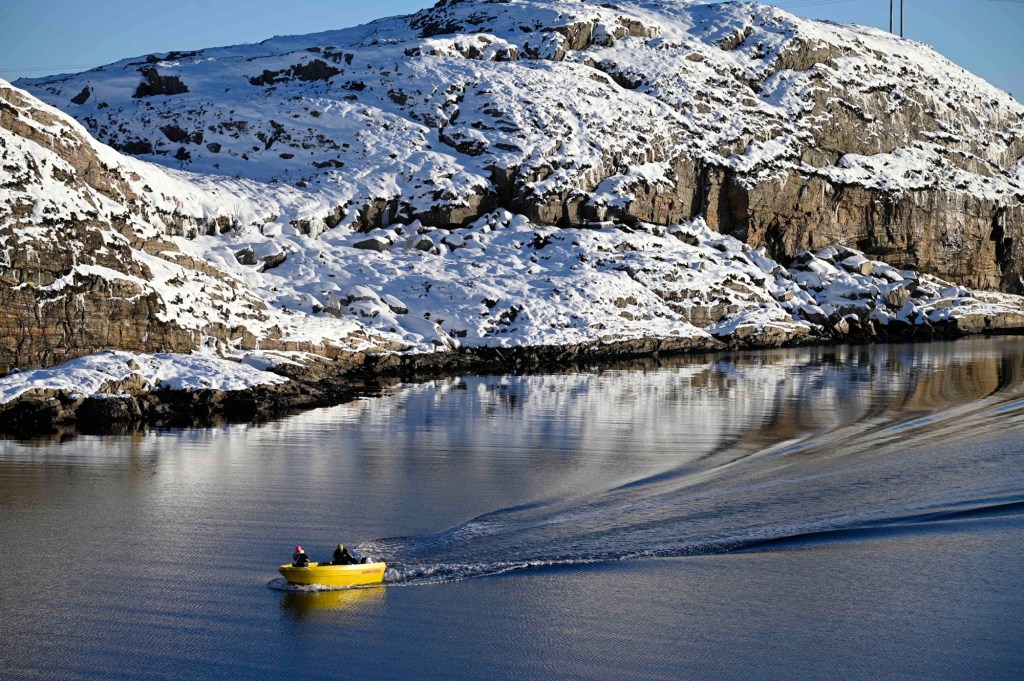
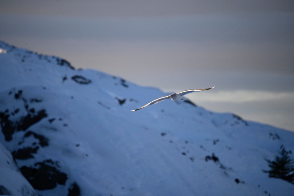
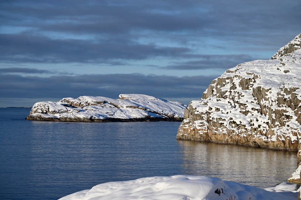
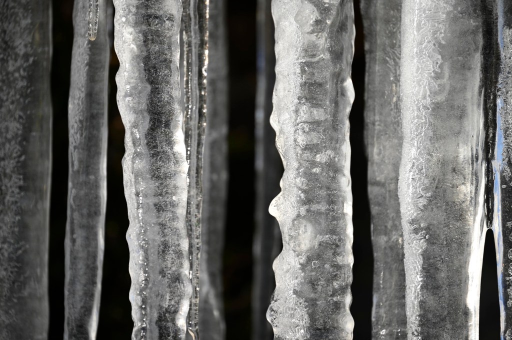
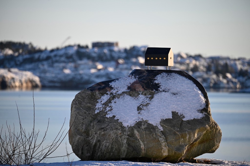
Below you’ll find some impressions from our winter day at Turøy:
Hiking in Øygarden
Øygarden, which is an island peninsula west of Bergen, with many bridges in between, has a lot of hiking opportunities. Most of them are relative easy, as it’s relatively flat and not so many mountains here. You’ll also get wonderful views of the ocean.
In between you can also find nice places for a coffe or food, as Glesvær cafe and Alvheimstuene, and you can learn more about the old days in the area at the museums Nordsjøfartmuseet and Kystmuseet.
Good hiking trails are found at the website of Øygarden municipality and at www.ut.no
You can also read about good trails in Kystpasset, which is published annually by the local hiking team describing good trails in the area.
Most of the trails in Øygarden are part of the North Sea Trail (Nordsjøløypa, in Norwegian).https://en.wikipedia.org/wiki/North_Sea_Trail
(Unfortunately much of the webpages listed above are only in Norwegian).
Hiking in Norway
Much of the descriptions is in Norwegian, but the Norwegian Trekkking Association (DNT) also have some information in English about trails and cabins all over Norway. https://www.dnt.no/english
Industry in Øygarden
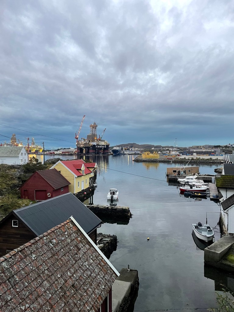
Close to where I live, at Ågotnes, there is a port, receiving boats and rigs from the North Sea, for maintenance and supplies. It’s called Coast Center Base (CCB) and contains several companies working in oil&gas related industry an maintenance of subsea equipment.
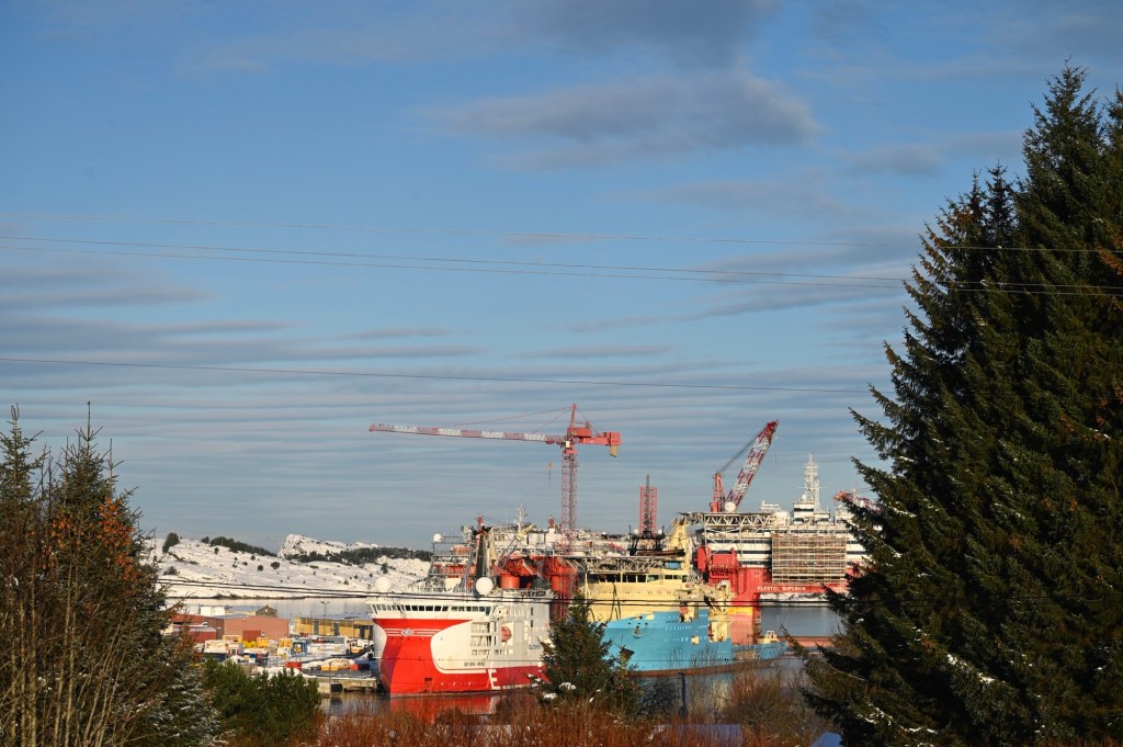
Further out in Øygarden, we also have the Kollsnes gas treatment plant, Sture oil terminal and the Naturgassparken, where Equinor just have started up their flagship project “Northern lights”, a full-scale carbon capture and storage (CCS) project.
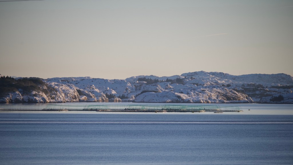
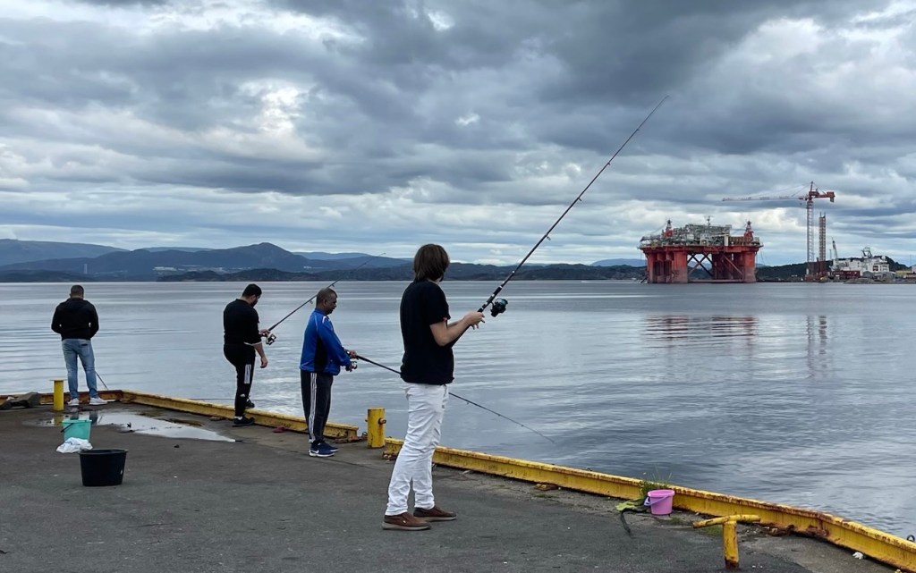
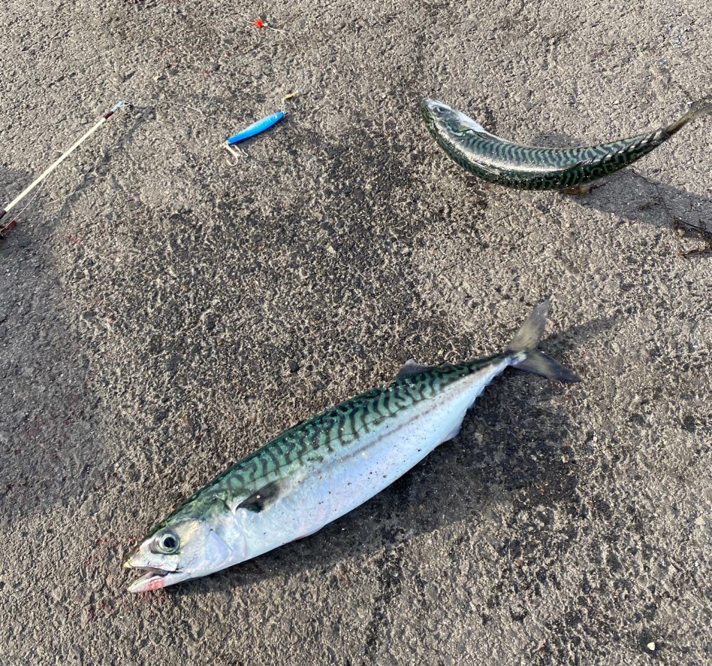
The area is also a place for fishing and aquaculture and you’ll see many fish farms in the sea around Øygarden. “Sotra fish industry” and “Blom sea” are some of the fishing companies. You are also allowed to fish in the sea yourself. I often take my fishing rod to different quays in the area and come home with mackerel, cod and saithe for dinner. You may also rent cabins for some days. Often these come with the option of renting boats. Fishing cabins are often called ” rorbu”. Glesvær rorbuer, Nautnes fiskevær, Porsvika 125 and Heggøy rorbuer is places well located for fishing holidays.

Leave a comment