Lüderitz, Lüderitz, Lüderitz. How can I speak about this city without being biased and emotionally engaged? The answer is probably that I cannot. So this blogpost might be a little biased. Biased because I’m white, biased because many if my dear friends are not, and was not treated nice, biased because the city looks pretty on the outside and just have so many darker stories below, many of which I did not know when I lived there.
Still, when I got my first proper job in Lüderitz, as a fisheries researcher in the late 90’s, and was overjoyed with happiness and excitement of moving from cold Norway to warm Namibia, I might have listened to some of the warning bells ringing. Listening to bells from travel books talking about the German history of the city, and stating that the city was “a dump”, but also to the strange message from one of my coming leaders saying “I don’t known if I should give you congratulations or condolences”……
But then again, if I had been listening to the warning bells and taken them into account, I might never have gone to Namibia, seen its landscapes and people that has helped me being shaped to who I am today. Namibia is a large part of my soul and I use to state that “people should not have lived their life’s without visiting Namibia”. That might not have been the case, had it not been for the city of Lüderitz.
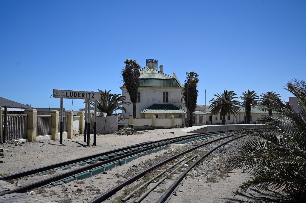
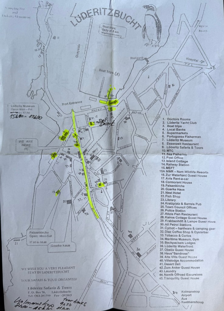
Lüderitz
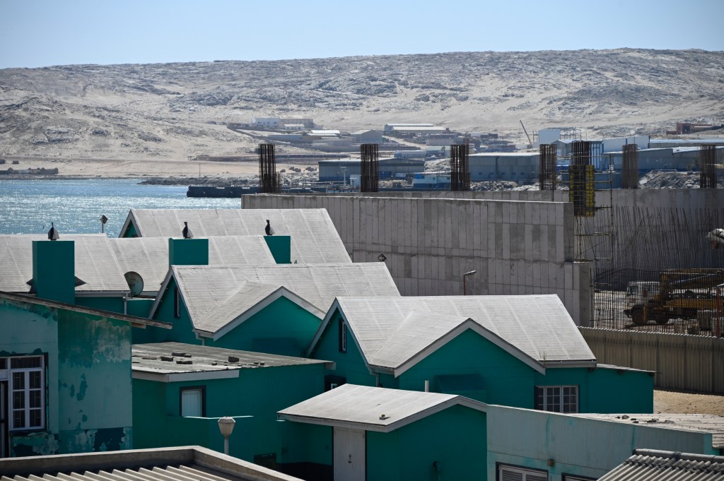
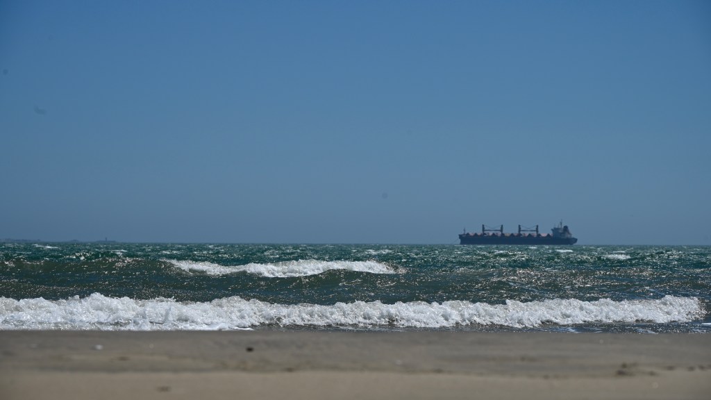
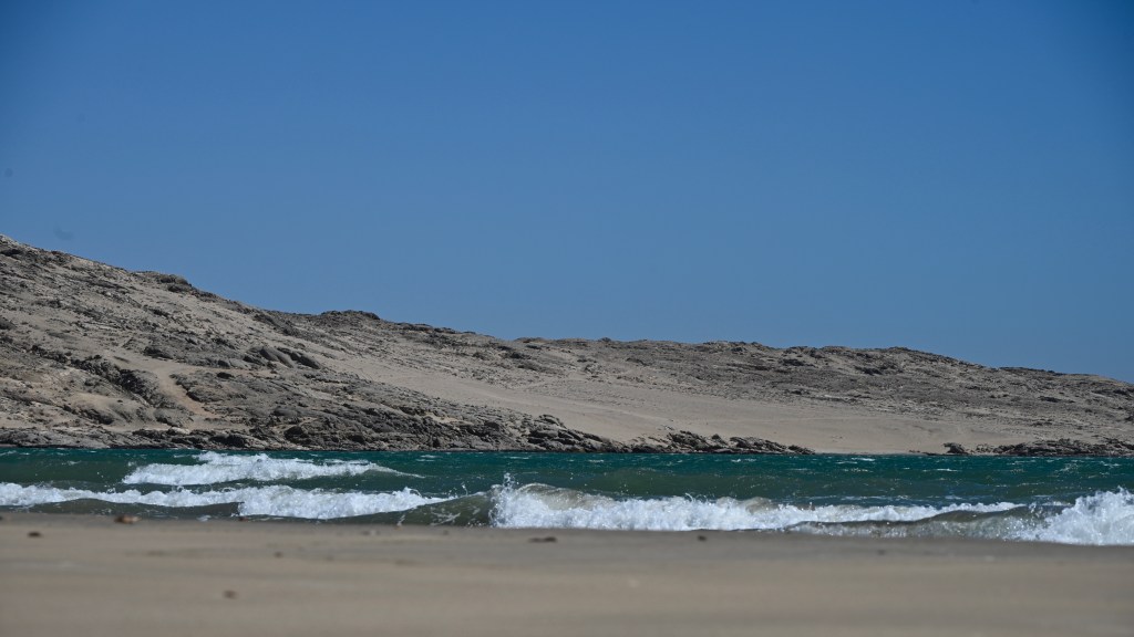
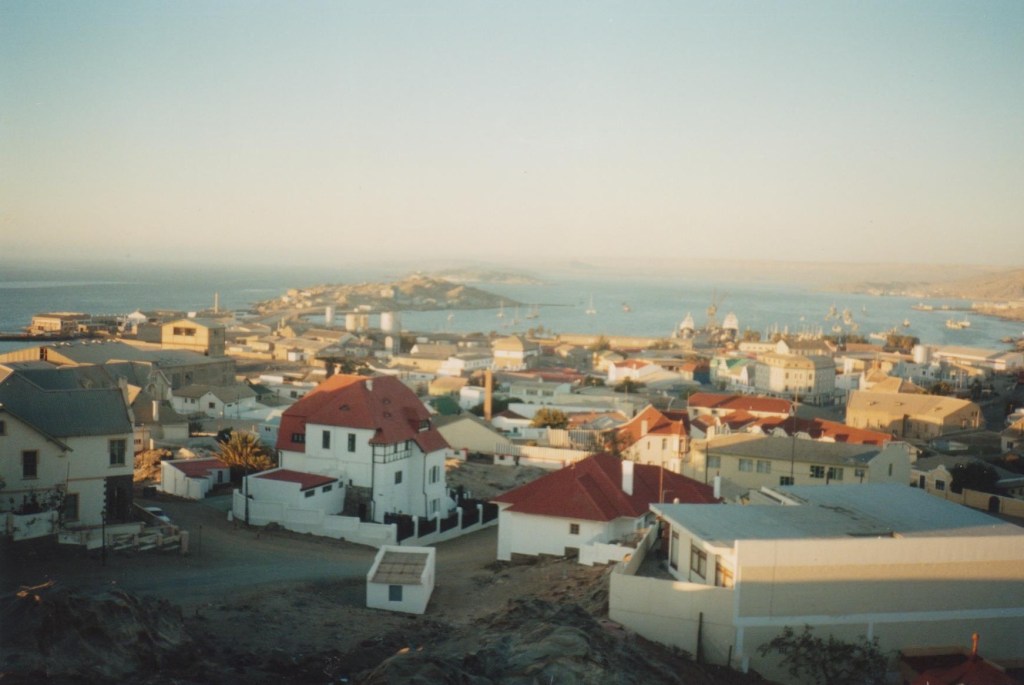
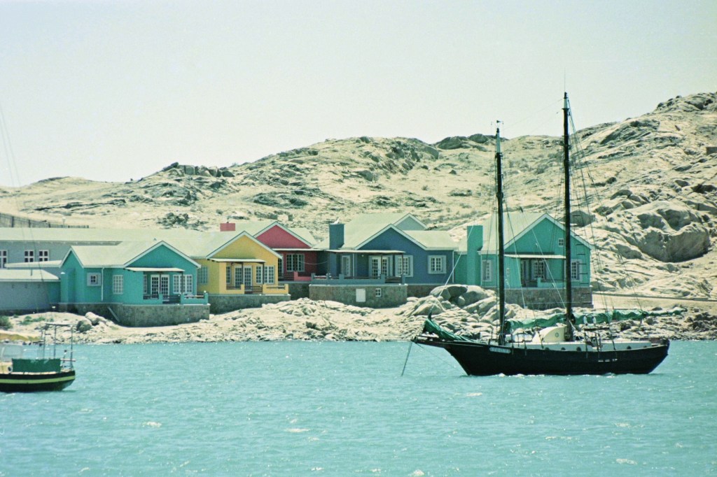
When I visualize Lüderitz, I see the turquoise color of the ocean in the morning, with the pinkish/yellow sand-dunes behind. I really wish I had managed to capture those colors in an aquarelle painting, because they did not last for long. The colors changed during the day, as the wind/gale peaks up around noon and changes the colors and landscape.
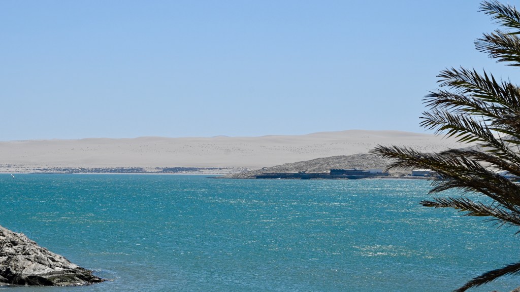
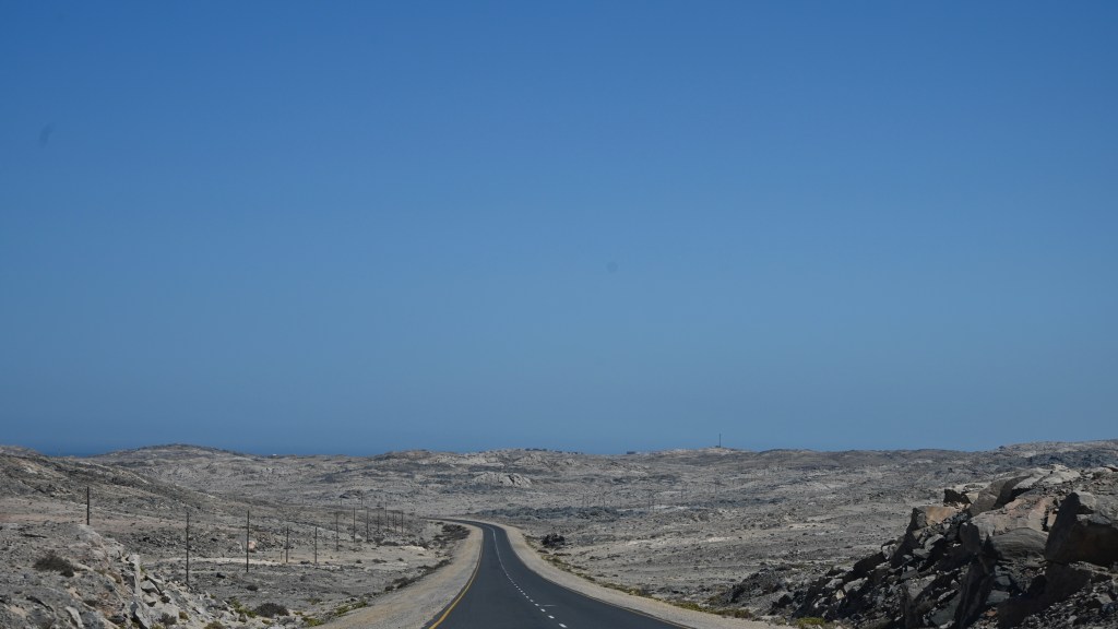
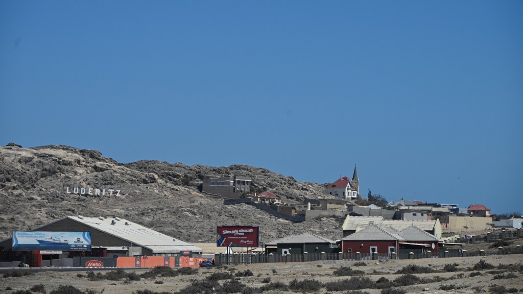
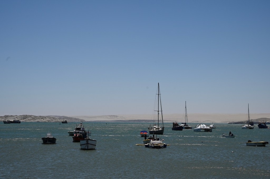
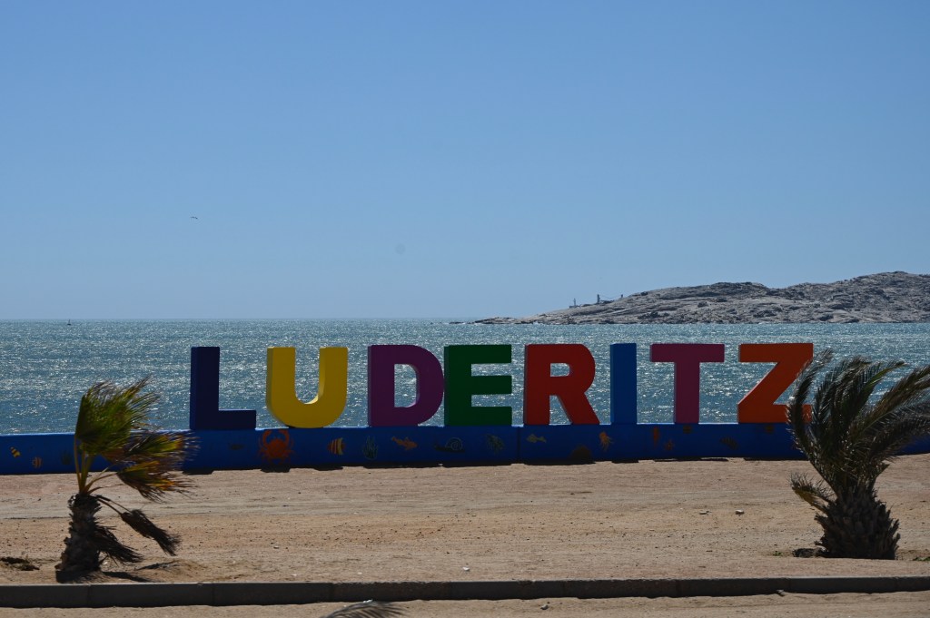
According to a Wikipedia page about Lüderitz, the city lies in one of the least hospitable coasts in Africa. It may be true both climatically and socially, but it is generally built on a rock, surrounding a bay, used as a harbor.
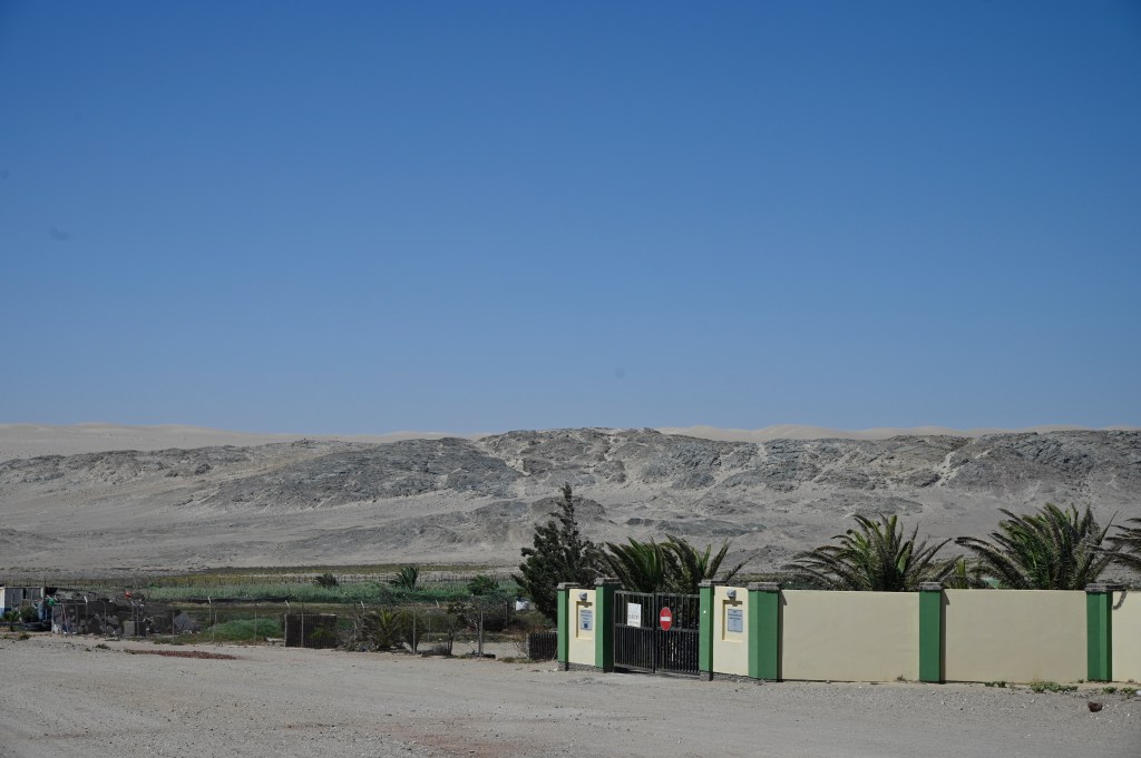
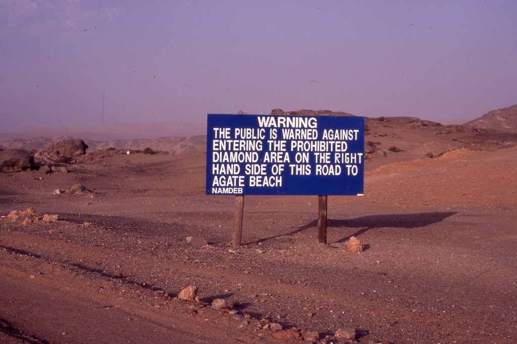
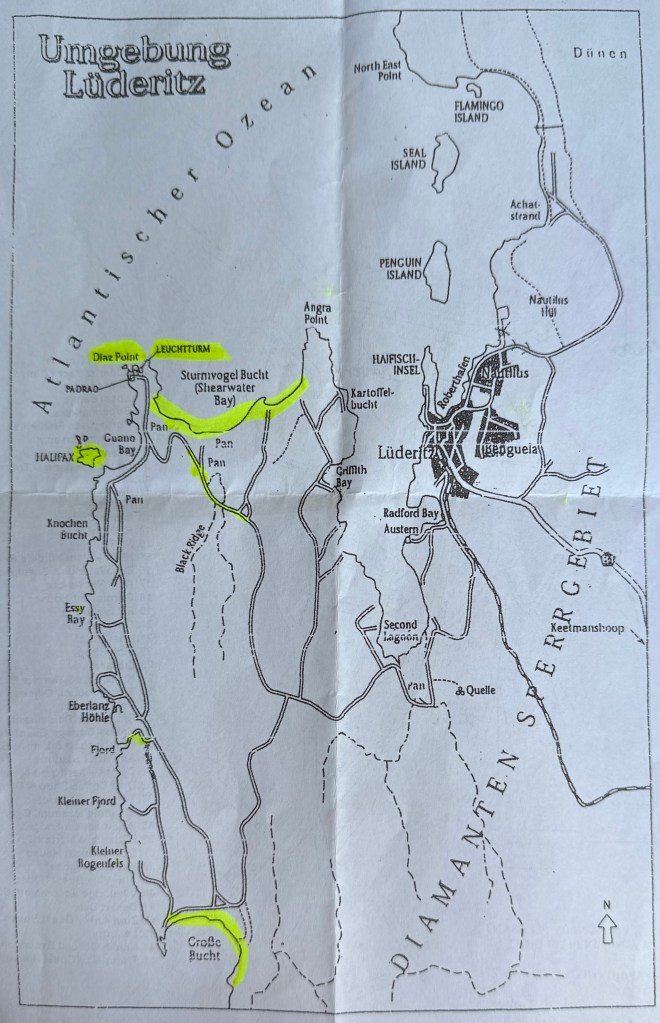
Even though the coastline north and south area of the city is surrounded by sand dunes, we never was allowed to visit those, as they was within the restricted diamond search area, Sperrgebiet, and could potentially contain diamonds. Thus people was kept away with large signs. This may be different now, as most of the Sperrgebiet was made into a national park in 2008.
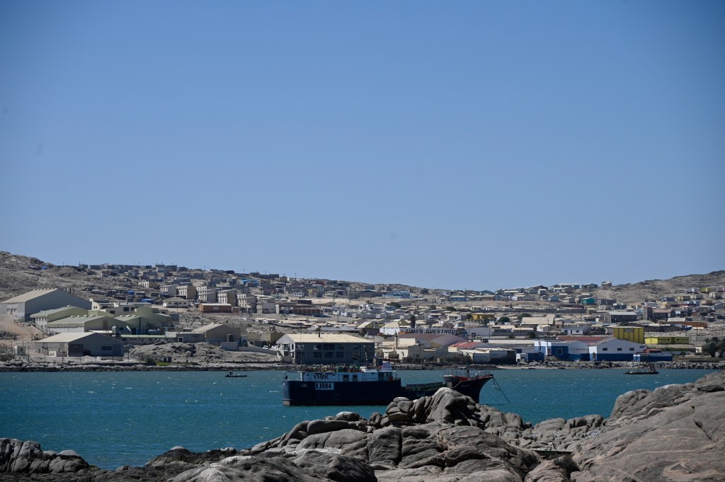
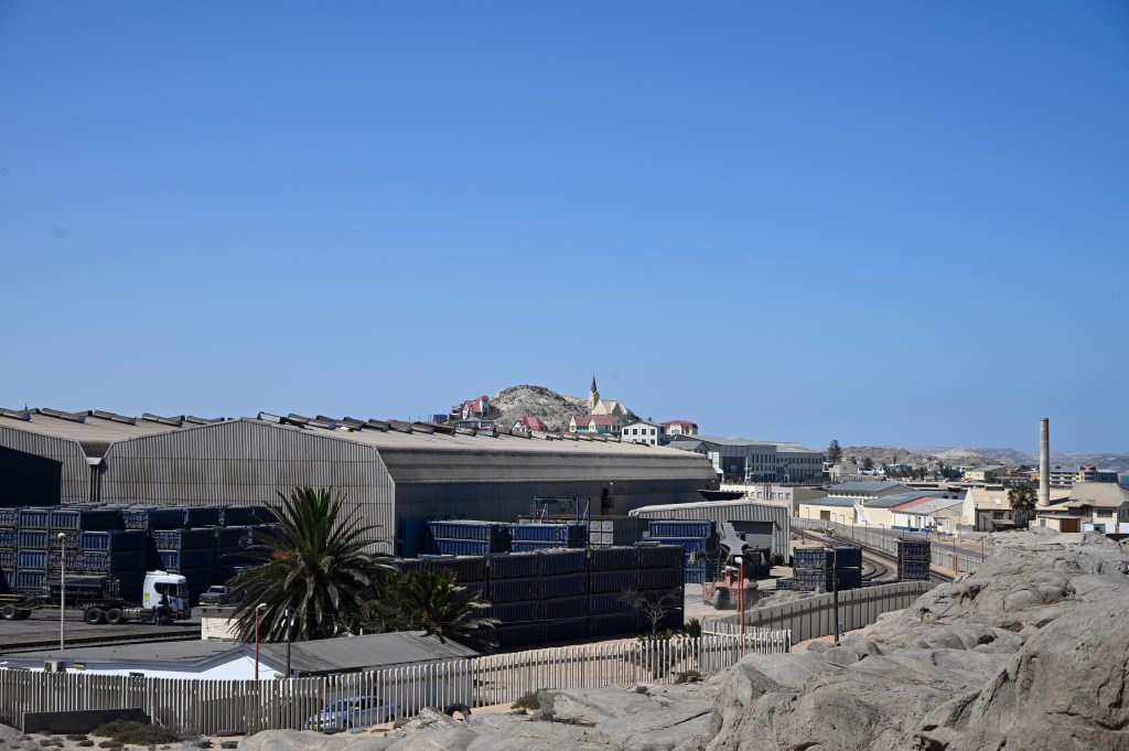
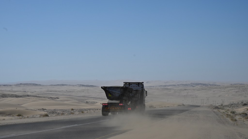
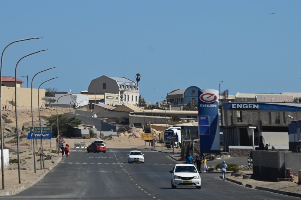
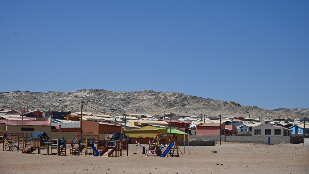
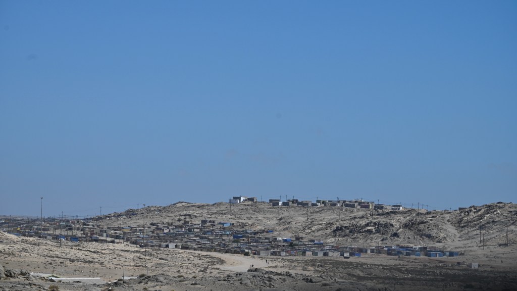
The sea, sand and wind is the same as before. However, where we lived, just a stone-throw from the sea, with open view over the seals in the bay and sand dunes ahead, is now surrounded by a large fence and has a large port facility in front if it. When that’s being said, that is good for the country, as it brings along income and jobs. Since I lived in Lüderitz, the population has grown from around 5000 persons to almost 20000, which is formidable.
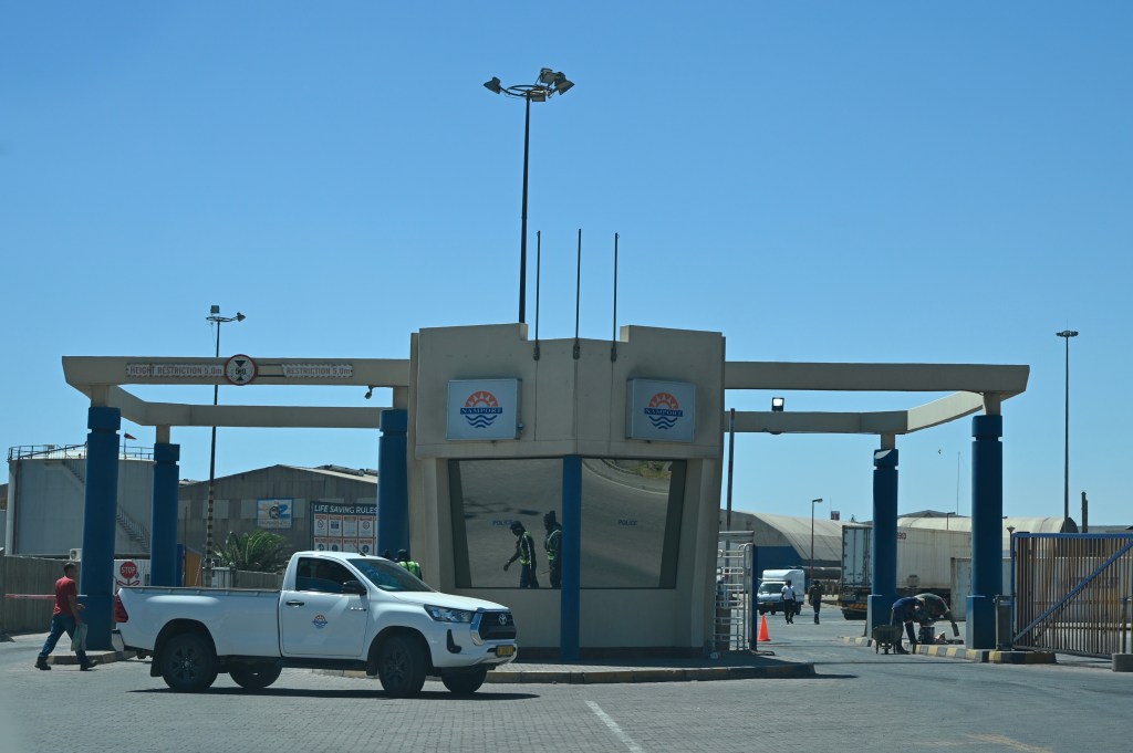
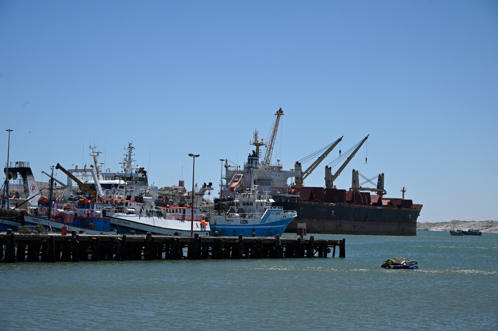
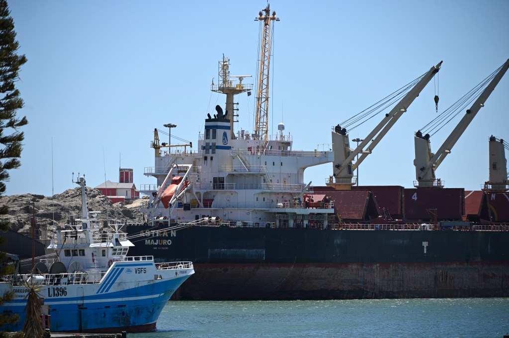
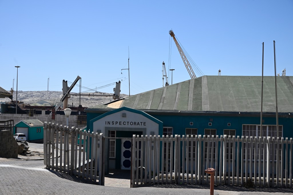
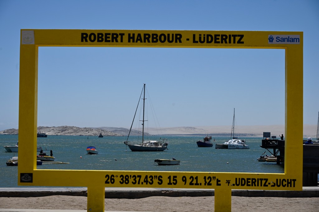
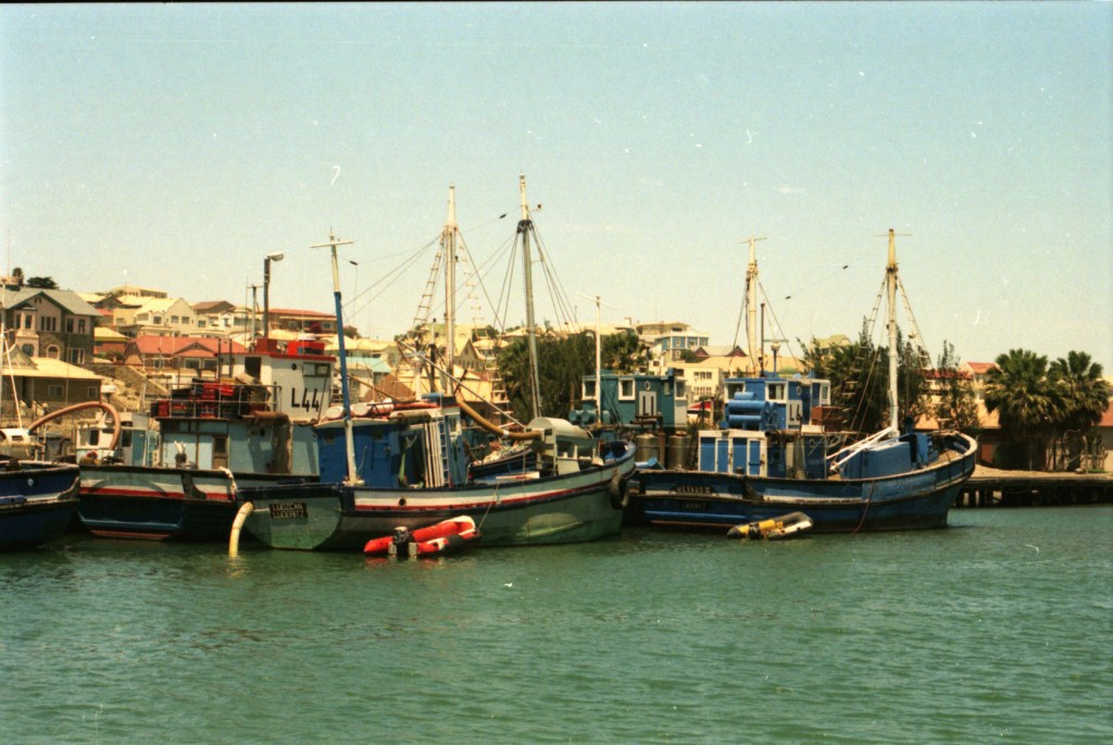
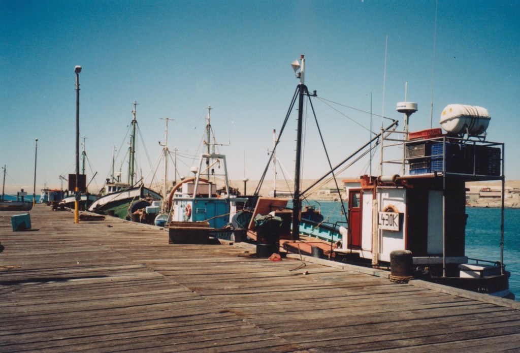
The port
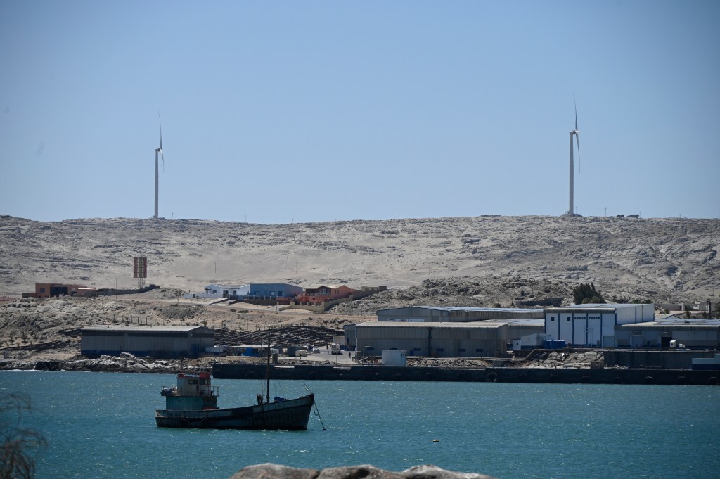
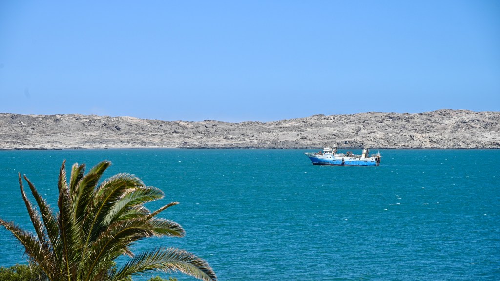
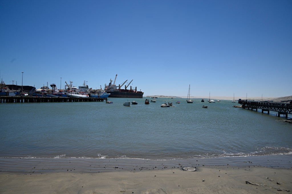
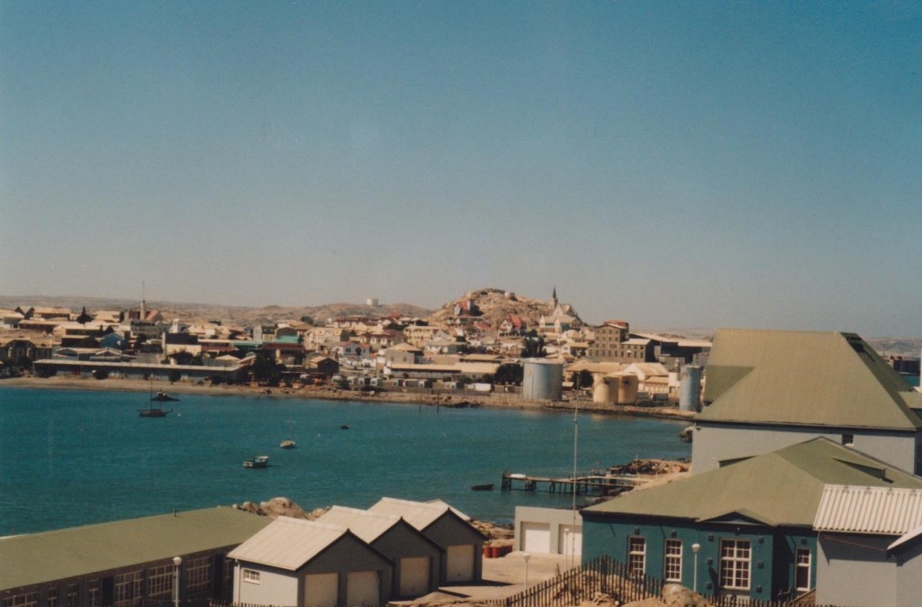
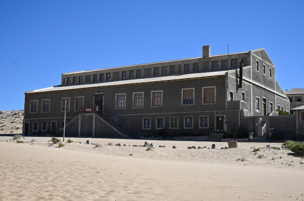
The port of Lűderitz is the second largest port in Namibia. It was expanded around 25 years back, after we left, and we had not seen how the city had become after those alterations. A new expansion is currently being discussed, as the country only have two proper ports, but environmental issues, as well as historical, may set an end to the plans.

The wind
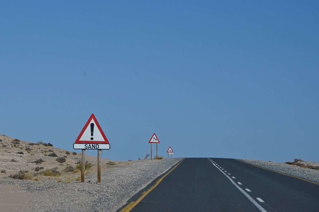
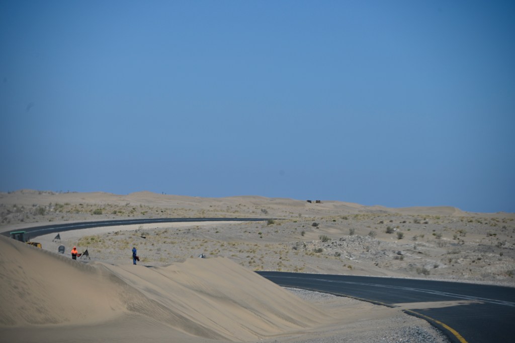
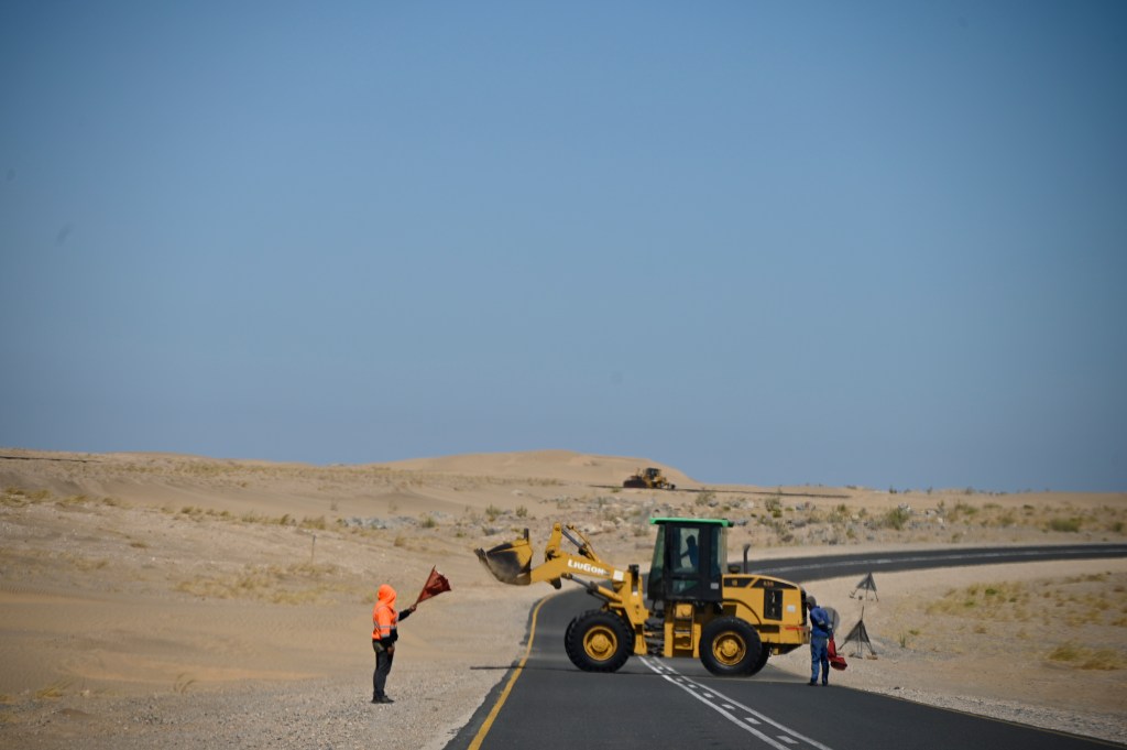
Lüderitz is known for its strong winds. During Lüderitz wind challenge, an annual sport event for speed-surfers, the wind can be 50-65 knots (average 35). Even though they’ve probably chose the time of year when it was worst, I recall this wind speeds as a whole-year situation. In the morning, it is calm and really beautiful, but after lunchtime it is difficult to walk outside wearing a shorts, as your feet gets a “body-peeling” by all the grains of sand that whips your legs.
On the way into the city, you’ll often meet warning signs about wind and sand, dunes forming in the road and plowing machines busy removing the sand from the roads.

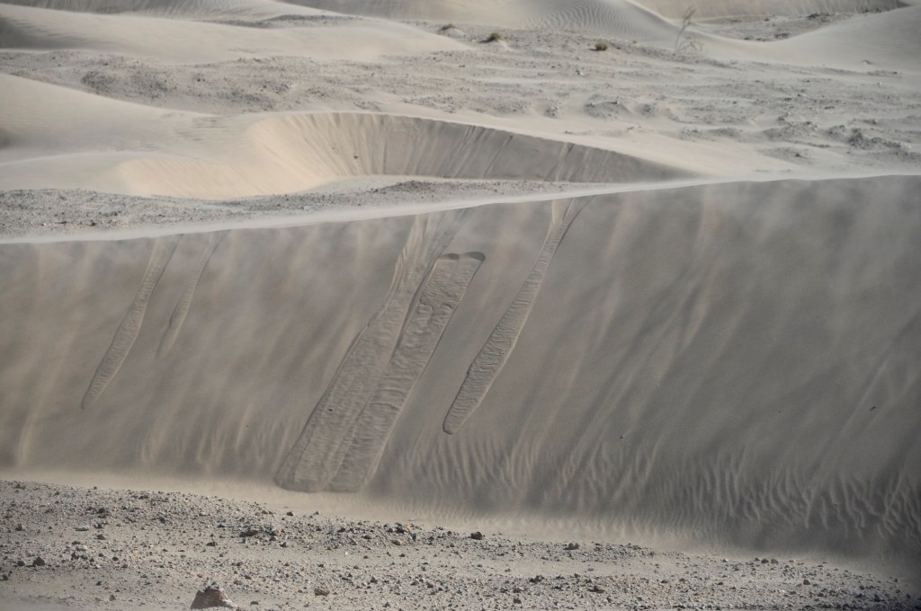
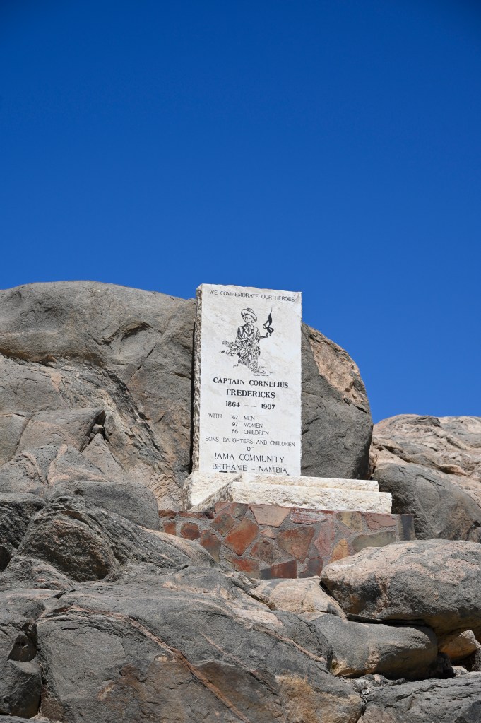
The landscapes in Lüderitz are also changed by this wind. The rocks the gets emptied of sand and looks like screaming remains of the horrors that happened in the city and at Shark island, by the start of the 19th century, some time after the city was built.
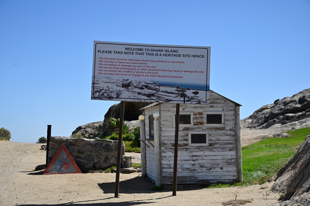
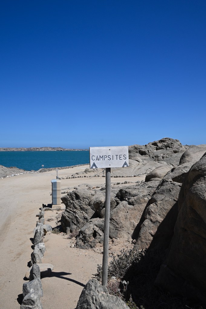
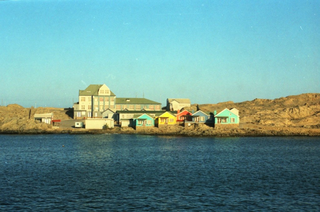
Shark Island
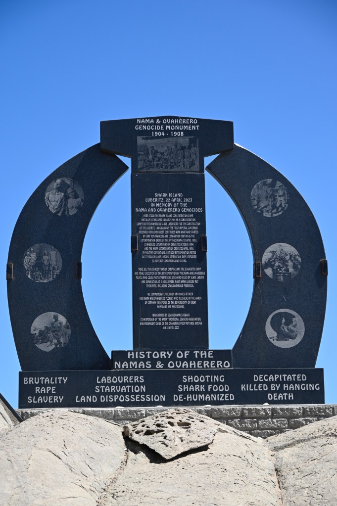
Shark island, where we used to live, swim and enjoy life, used to be a concentration camp, used by the German empire during the Herero and Nama Genocide from 1904-1908, where almost 4000 people were killed.
We knew nothing about this history when living there. The area was (and still is) a public NWR camping ground and there is ongoing discussions as to using the area as an extension of the port, for production of green hydrogen.
First in 2010 the book “The Kaiser’s Holocaust: Germany’s forgotten genocide and the colonial roots of Nazism” brought us awareness of where we actually had lived and what the Namibian people had gone through in the early 19th century.
At that time, we were mostly oposed by the German Art Noveau buildings and that Germans we met in Lüderitz had been soldiers in Norway during the second World war, even though some reconciliation of that was made while we was there. We were also troubled by the injustice amongst people, how racism still kept on, under different names and how people had seemed to be customised to”using other people”. The horrors for the Nama and Herero people and why the “island” we lived in was called “shark island” was just an unspoken issue.
Later I found that the bodies of several people were found outside of Shark island, without heads, as these had been sent to Germany for racial experiments. The bodies had been fed to the sharks.
Some of the skulls were returned to Namibia in 2018, after this was made known and I saw one of the burial ceremonies at television. Later, in 2021 Germany agreed to recognize what had happened as a genocide and apologize officially for what had happened.
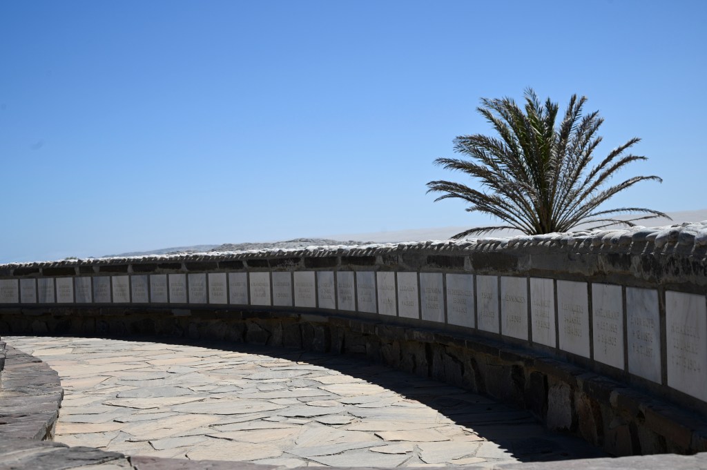
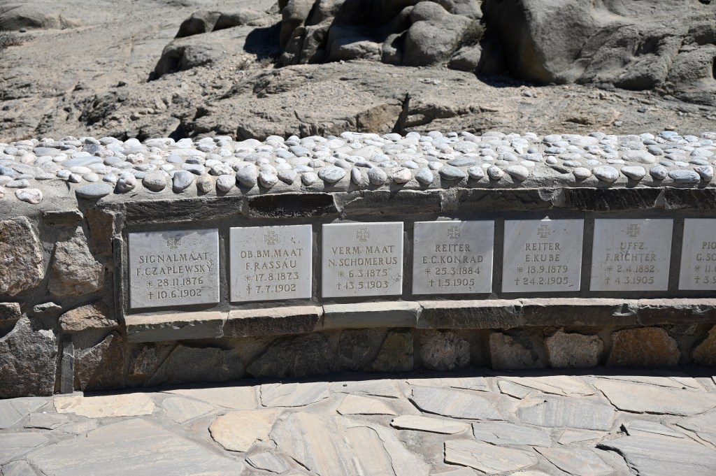
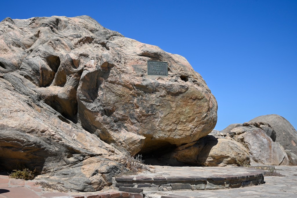
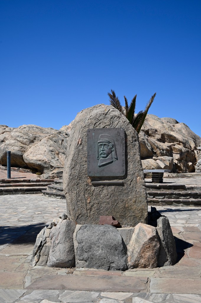
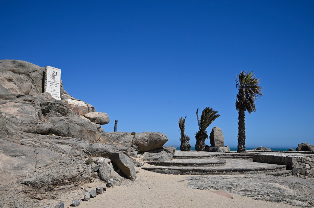
At shark Island today, it is hard to get the history of what that happened. The monuments and plaques seen is mainly of people with German names, along with a plaques about a Brazilian managing to cross the sea in a rowing boat in 1984. You have to walk around the camp and look closely before seing the monument risen over the lost Nama and Herero people, on top of one of the barren cliffs. Behind the monument lay a broken version in pieces. Whether it was broken by somebody or taken by the wind is unclear.
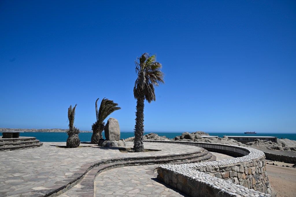


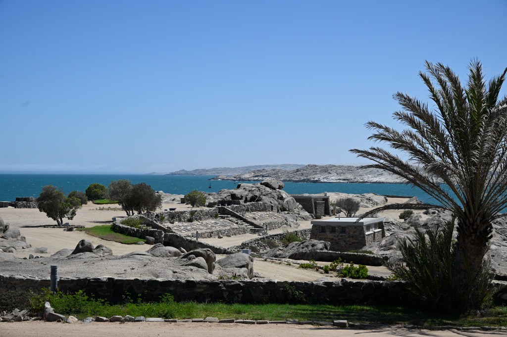
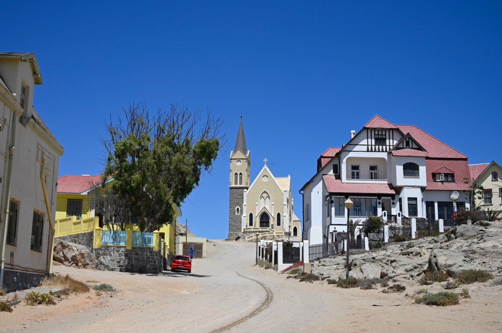
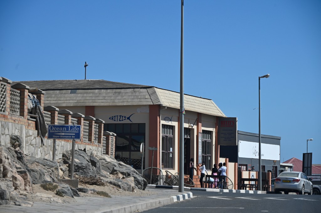
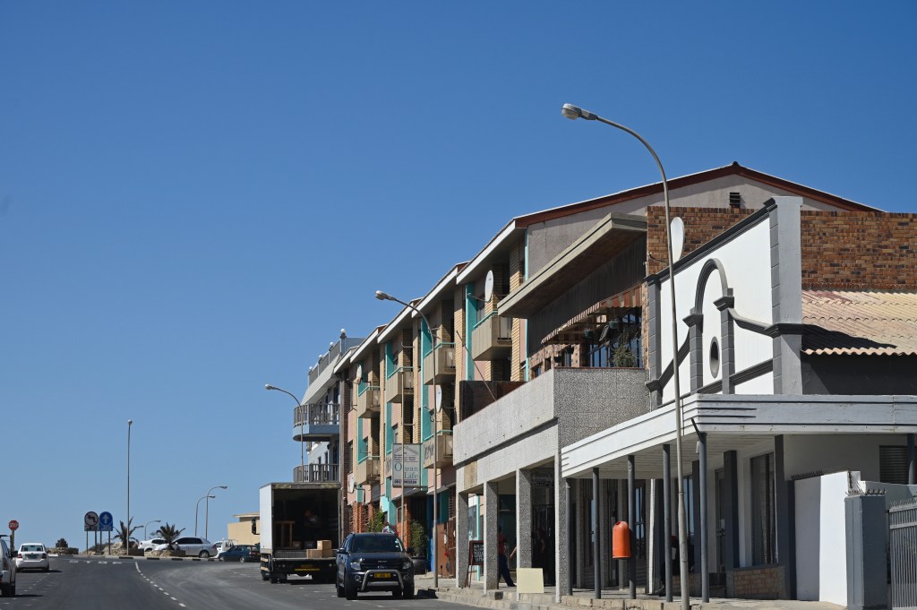
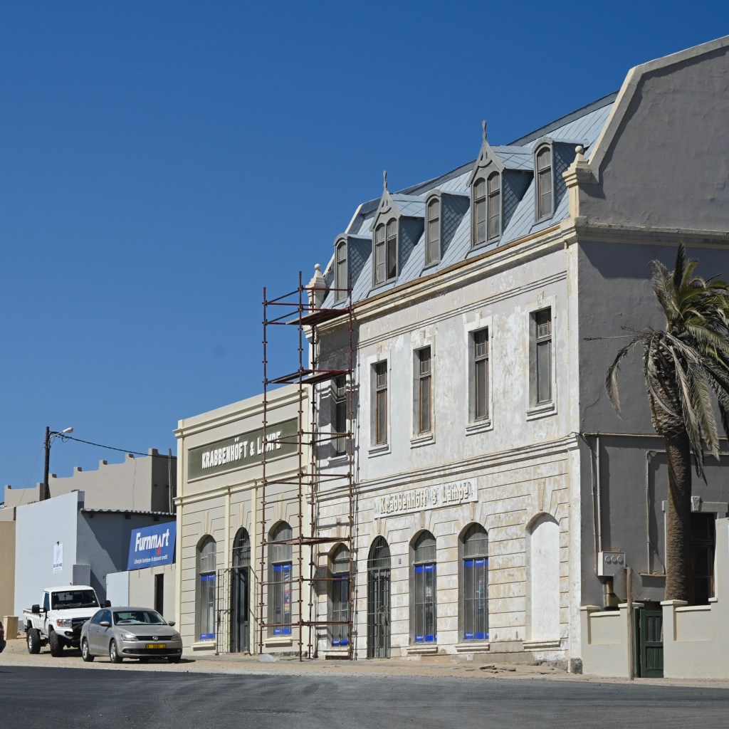
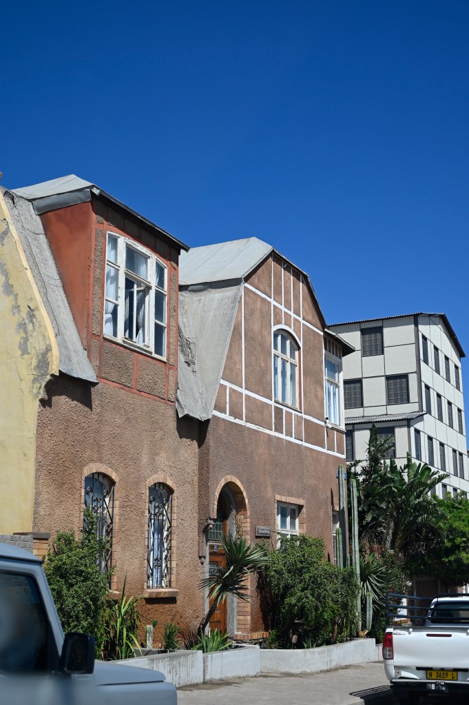
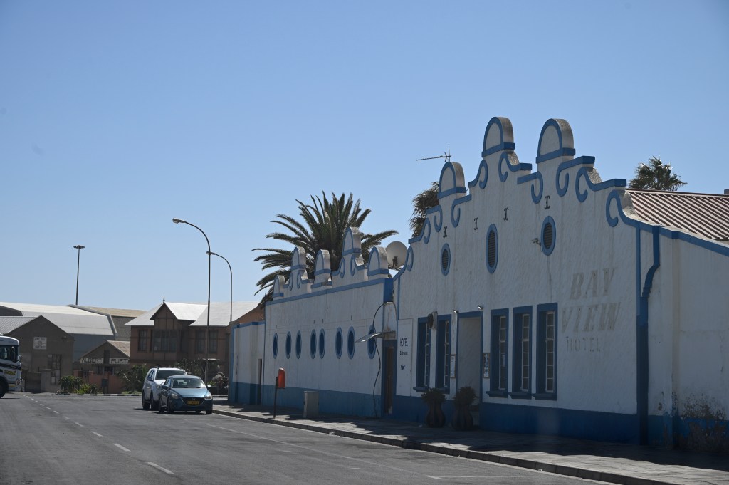
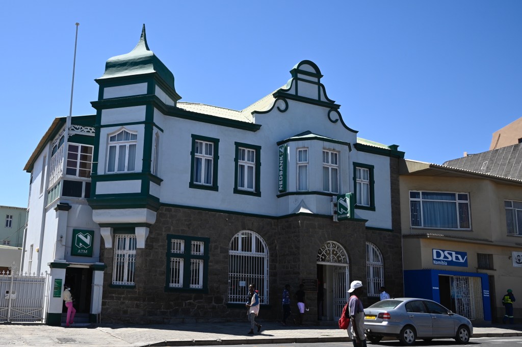
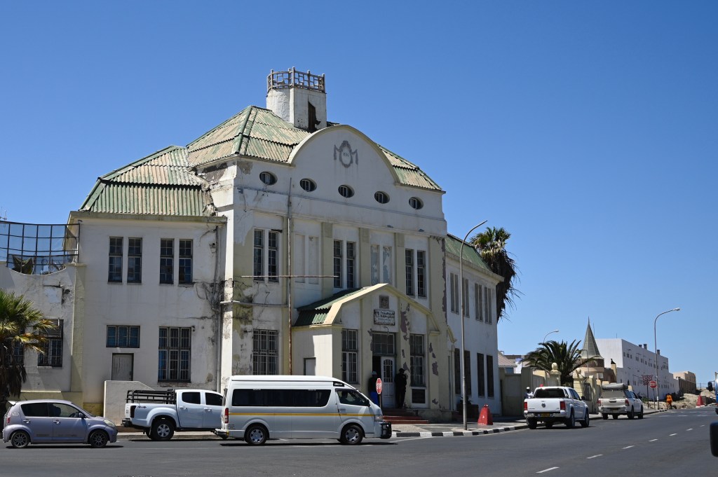
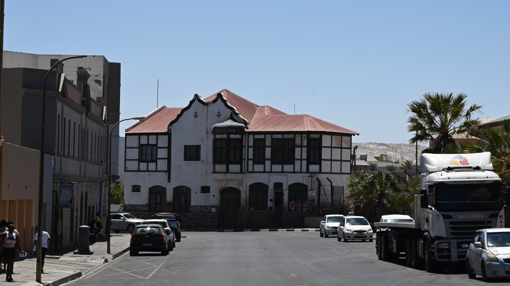
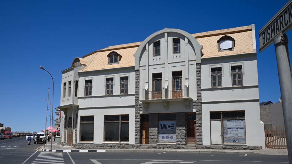
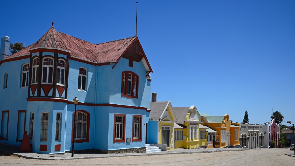
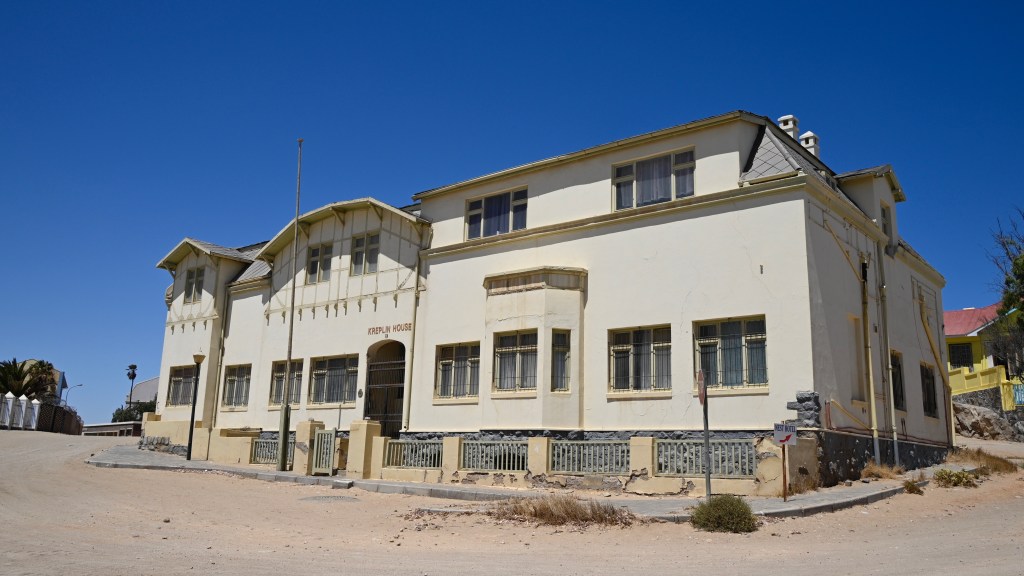
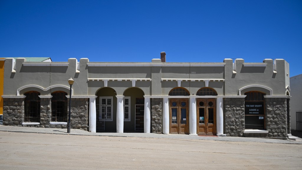
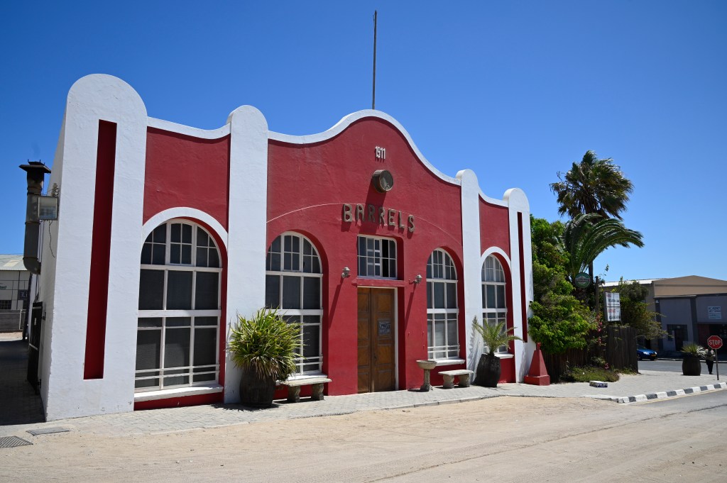
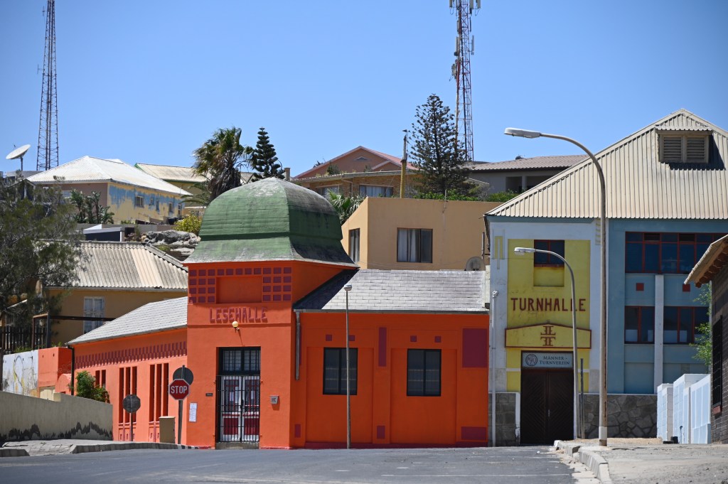
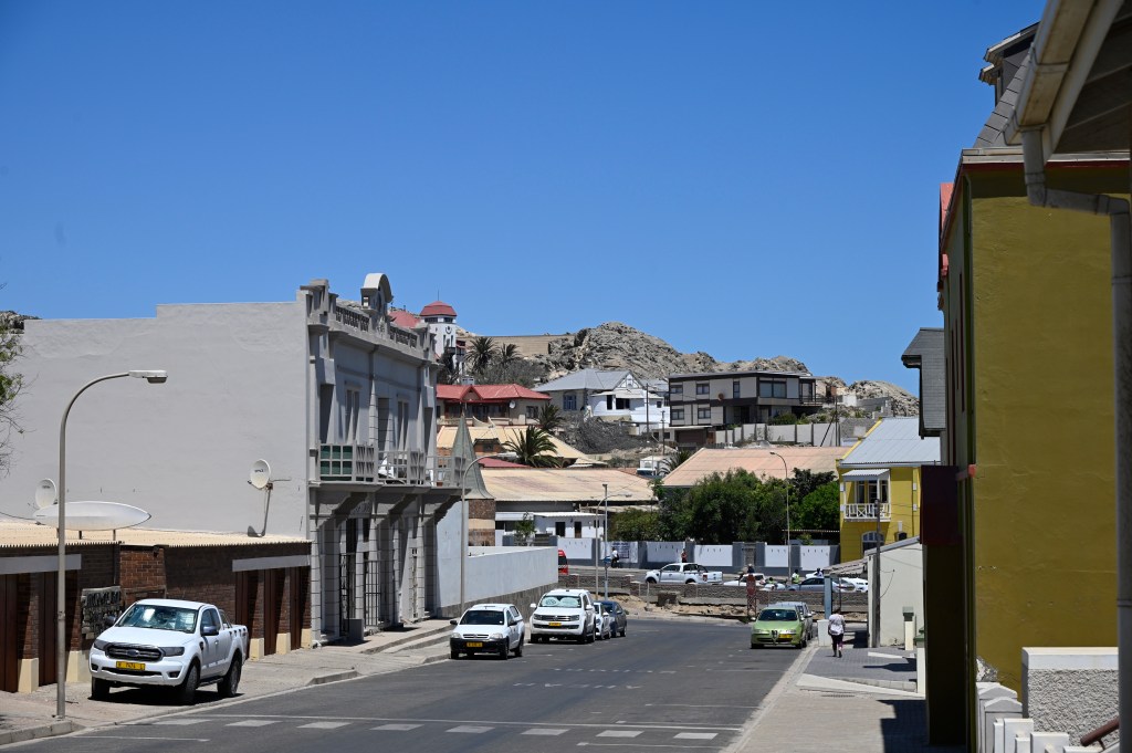
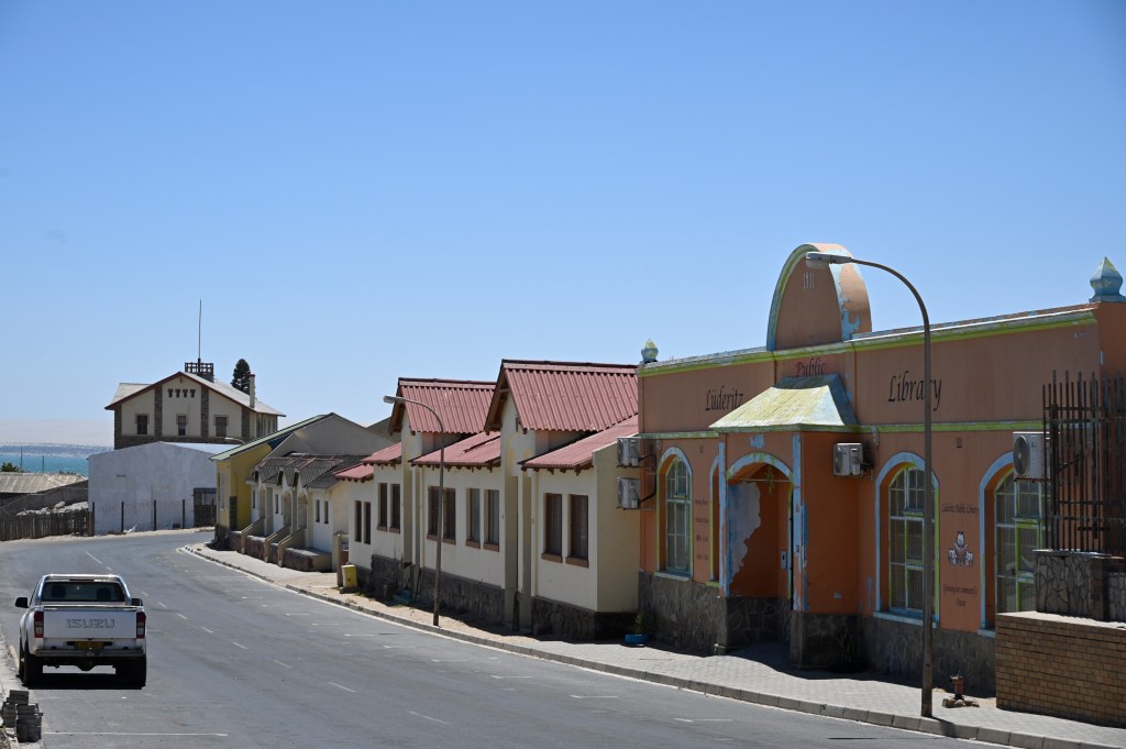
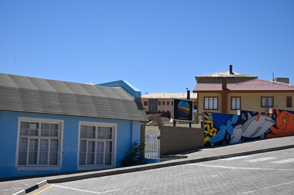
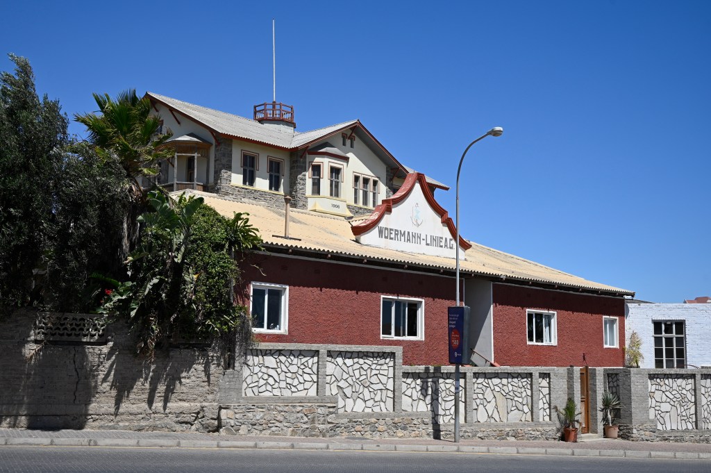
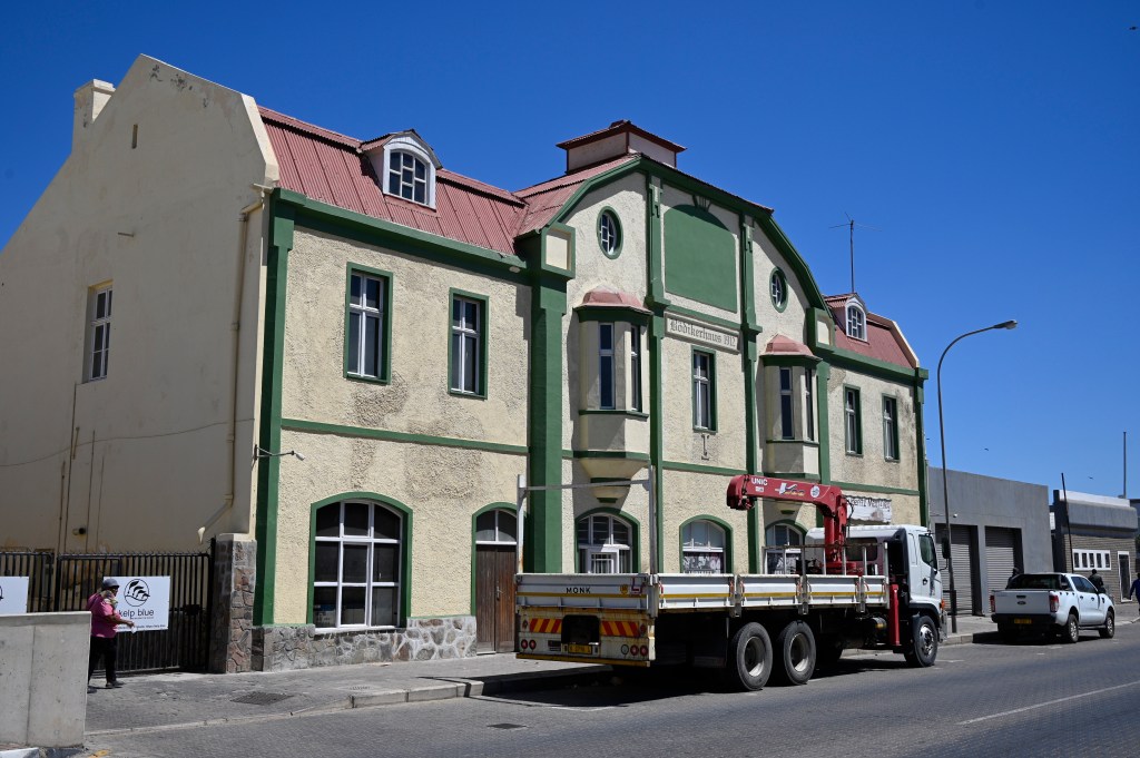
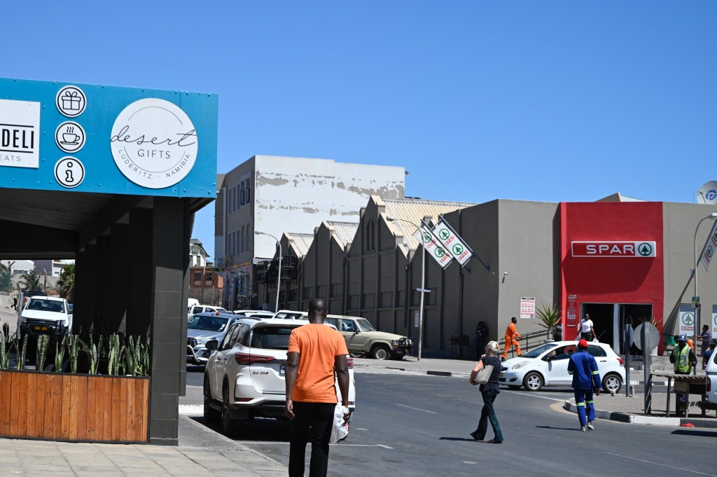
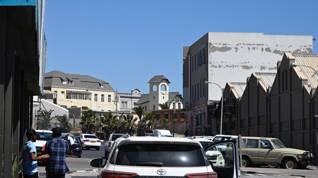
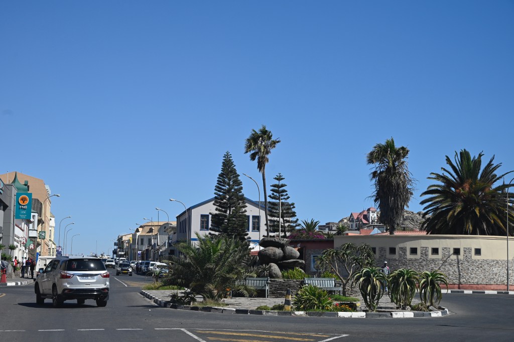
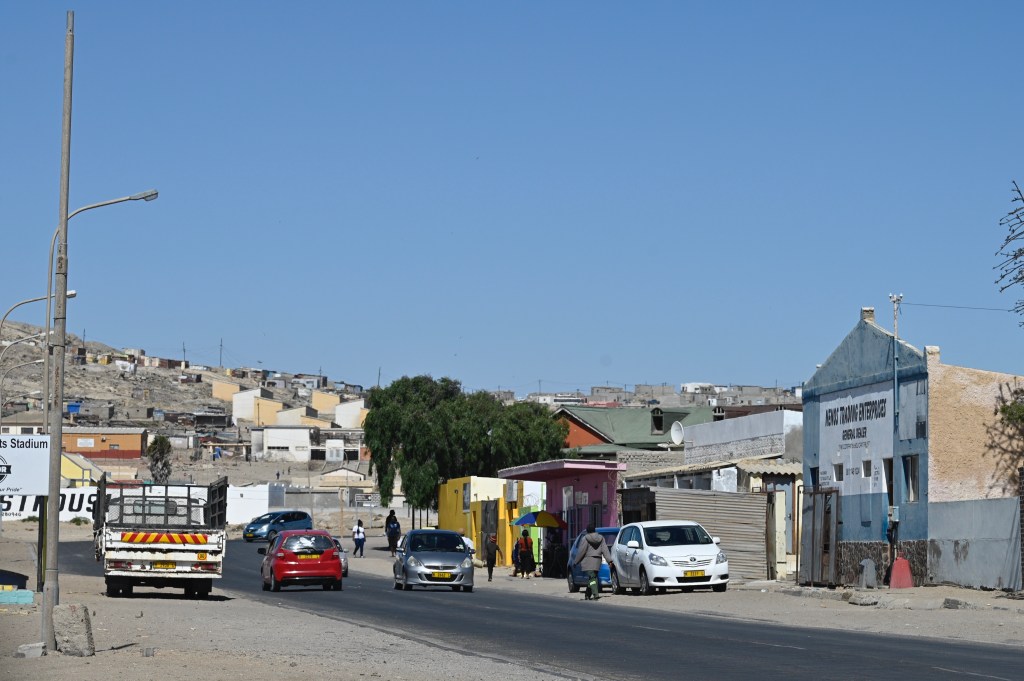
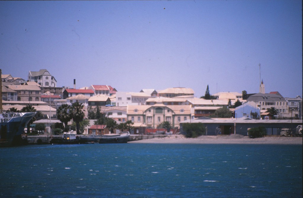
The city centre
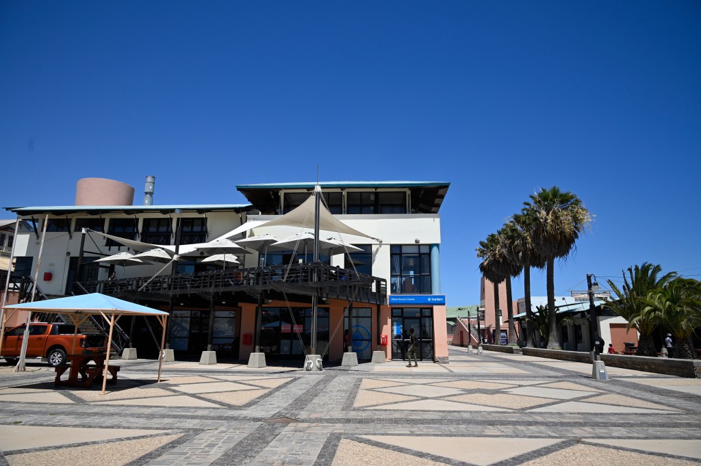
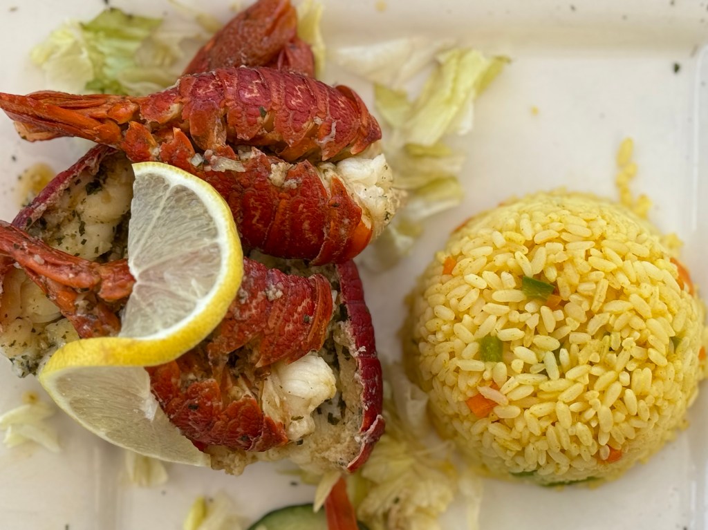
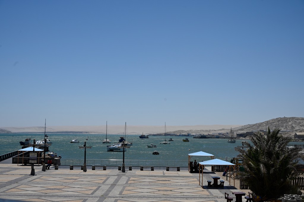
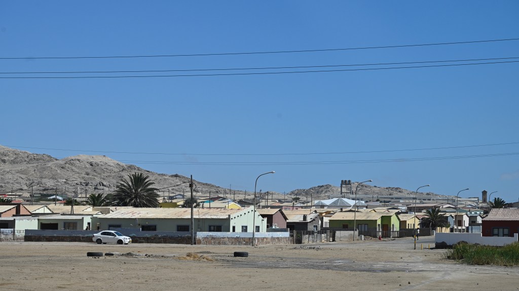
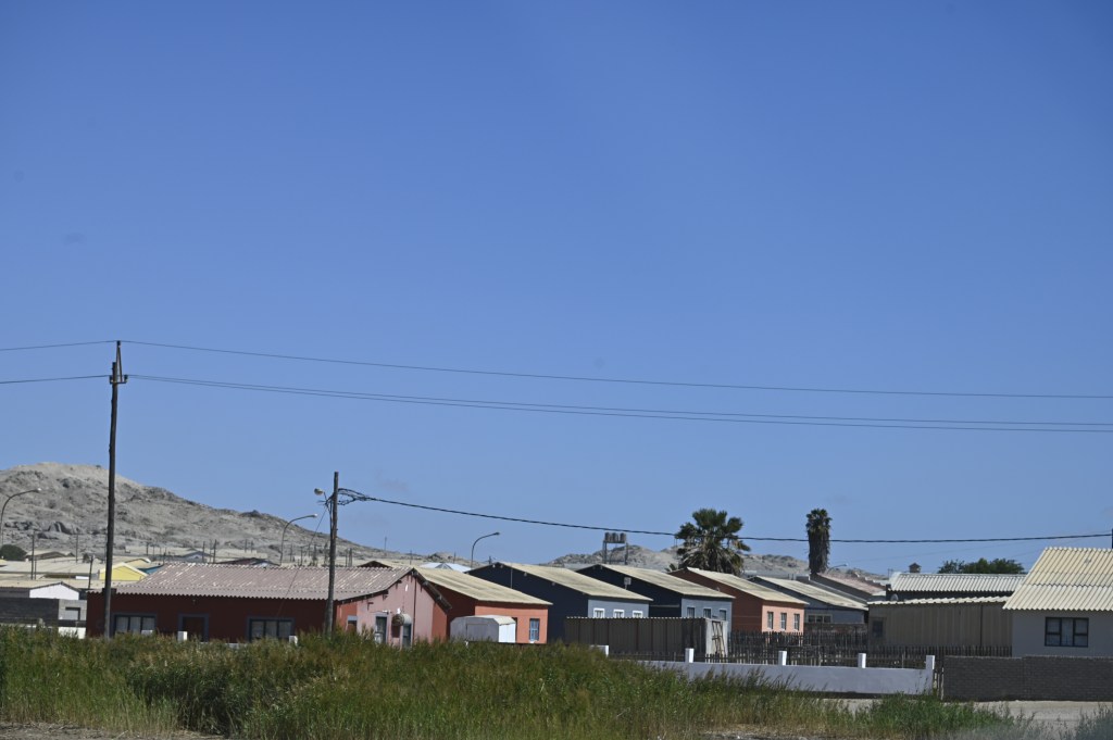
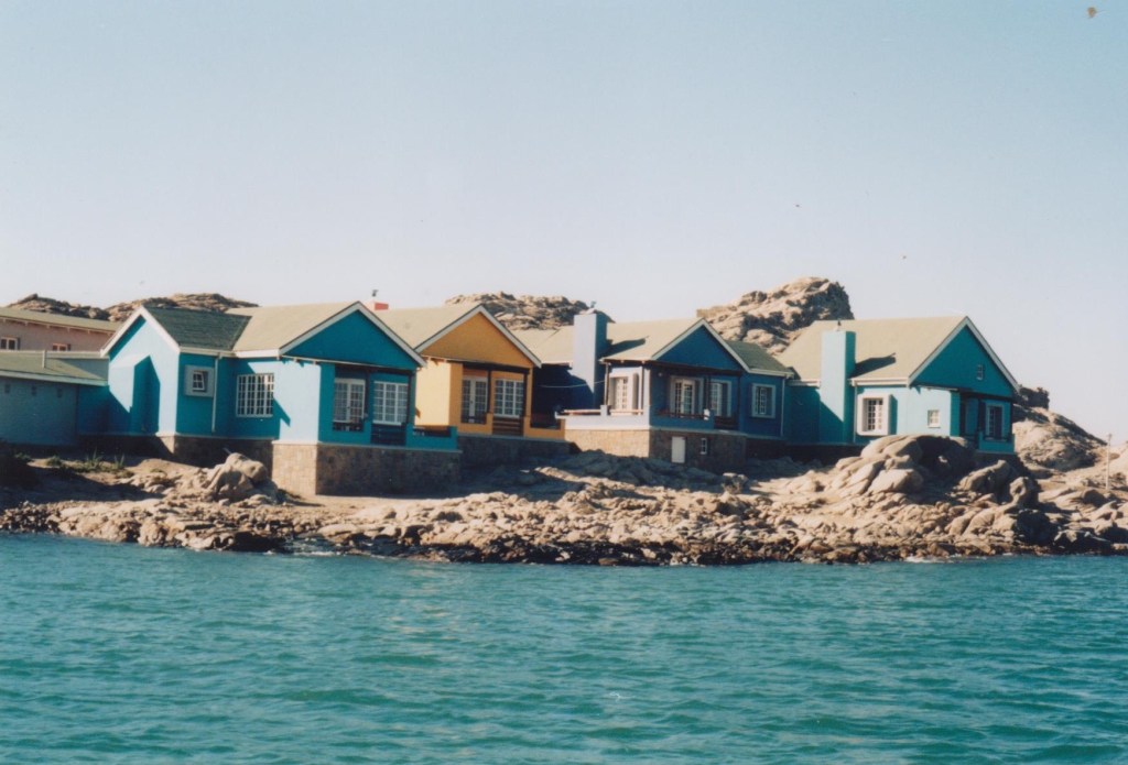
Lűderitz city has changed since we lived there, which is good. The people look more diverse and there has come a new “waterfront” area with cafés and restaurants, along with a playground and quay area, overlooking the sea. Here you can get fresh lobster in the season (November to April) when lobster fishing is legal and also nice fish. Lobster fishing used to be one of the main trade in the area, along with diamond exploration of the sea bottom.
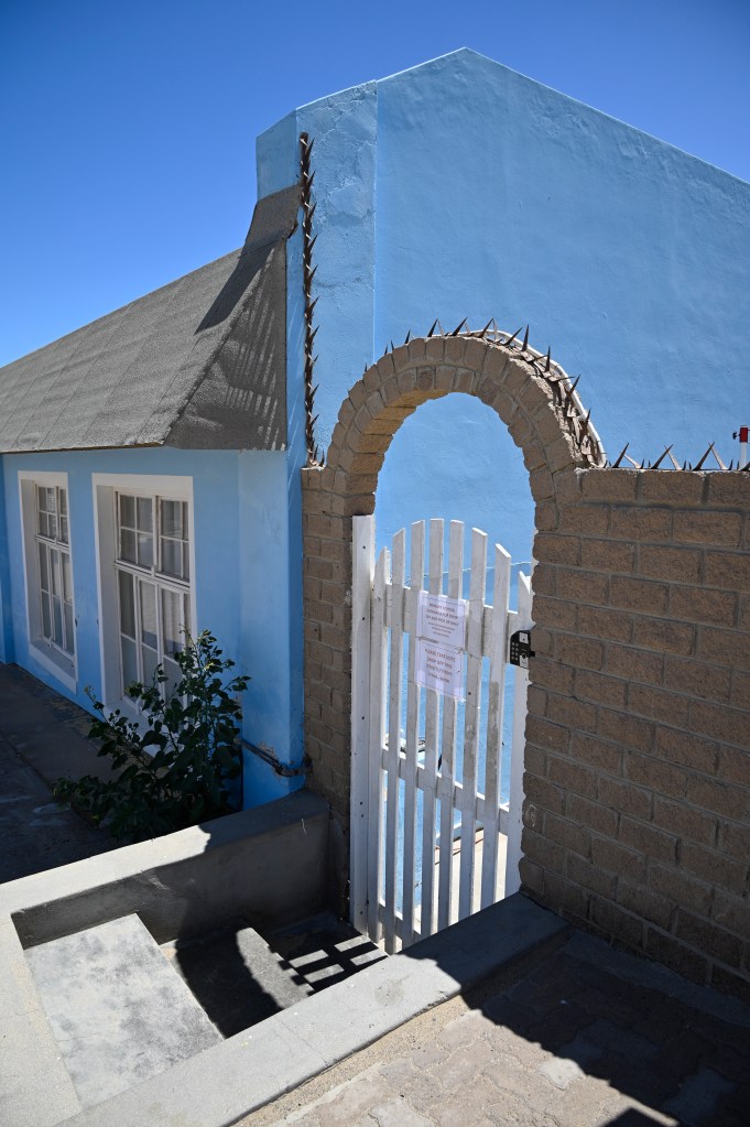
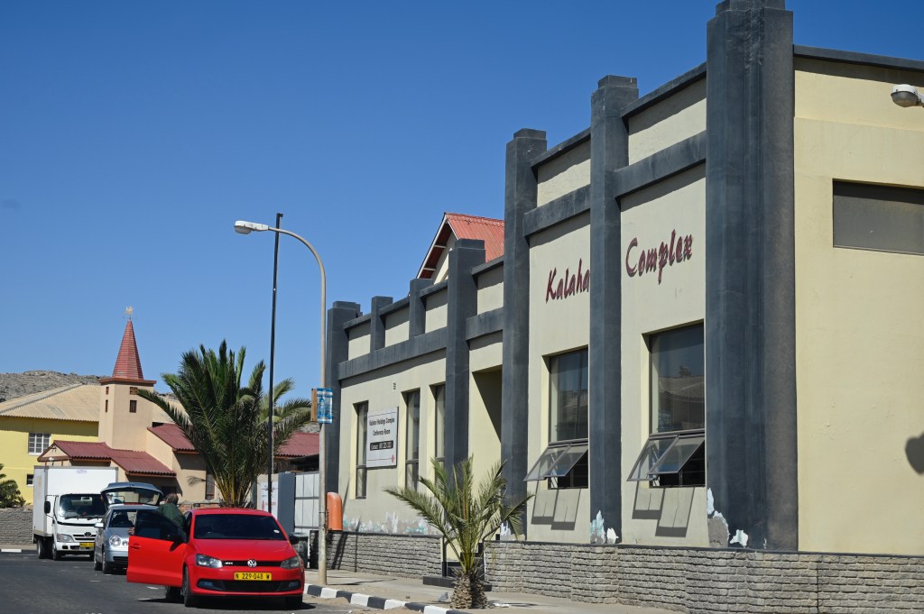
Some of the old houses have been refurbished into Airbnb’s while others seem to fall apart. The Spar grocery shop, where we used to get most of our things, and which was ran by a Mr Syvertsen, with Norwegian forefathers, still seemed to be a central spot.

Towards Agate beach
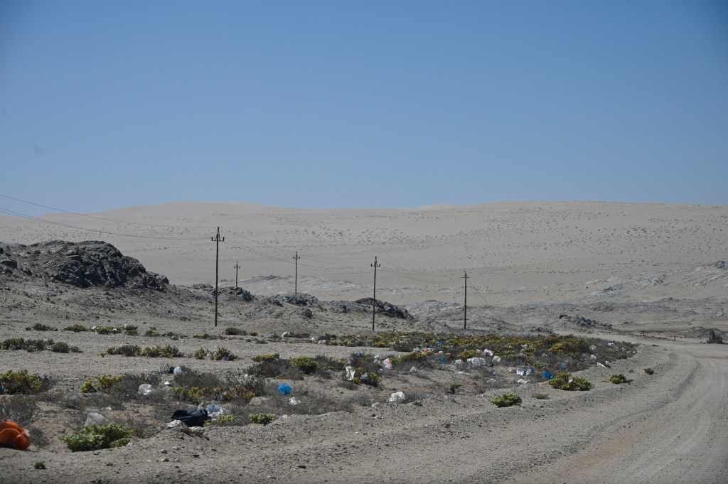
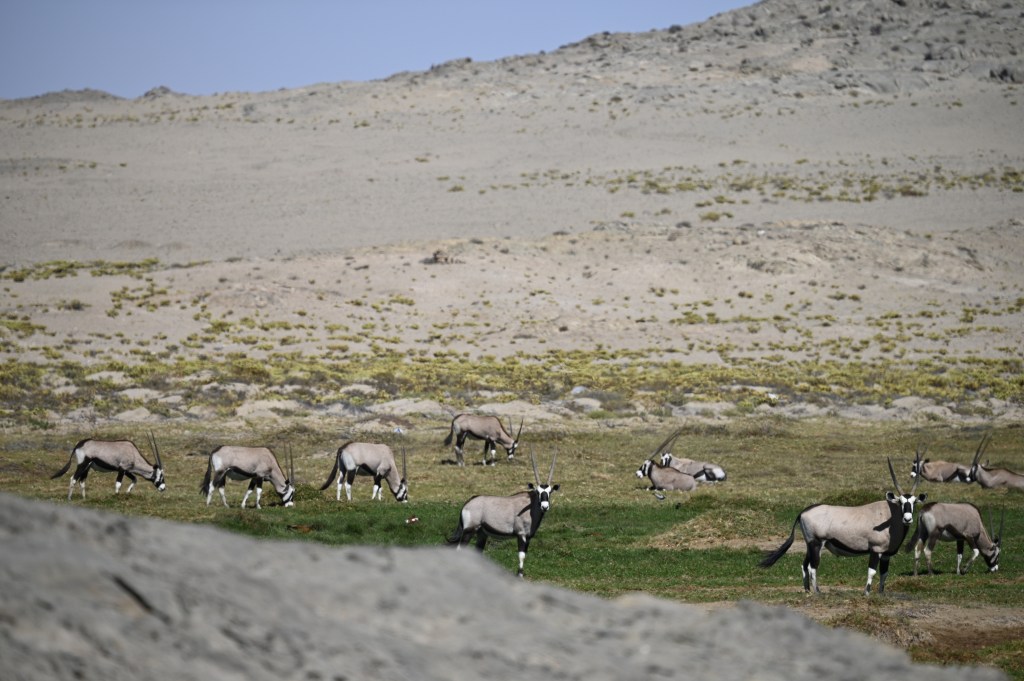
As the city has quadrupled since I lived there, new city extensions has formed in the areas called Benguela and Nautilus in the area towards Agate beach. In Agate beach you can theoretically find precious stones called Agates, while sunbathing on the beach. There are also places to barbecue and swim. However, as always, only in the morning, before the wind peaks up and makes it unbearable to be outside. It used to be large signs here warning people from going into the diamond area, but those seem taken away. Instead we saw signs of trying to farm some of the areas. We also saw wild oryxes, springboks and flamingos in the area. The loose plastic bags from the open waste facility in the area, was still “decorating” the greenery.
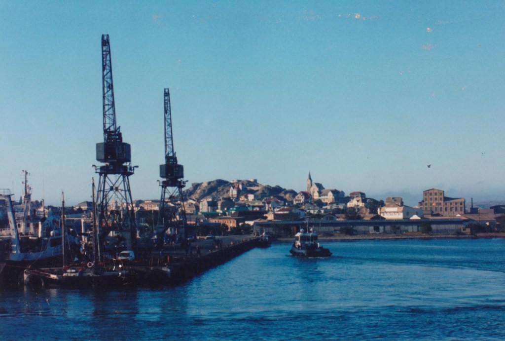
How it used to look
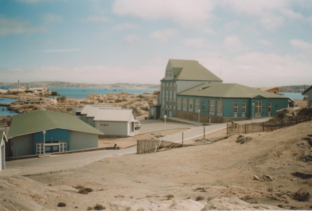
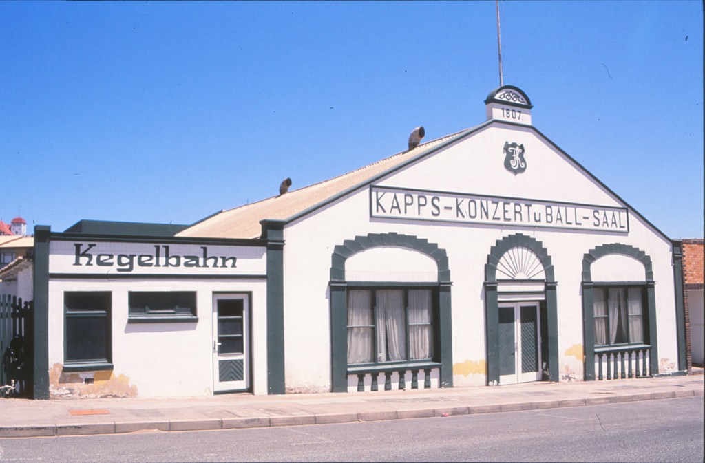
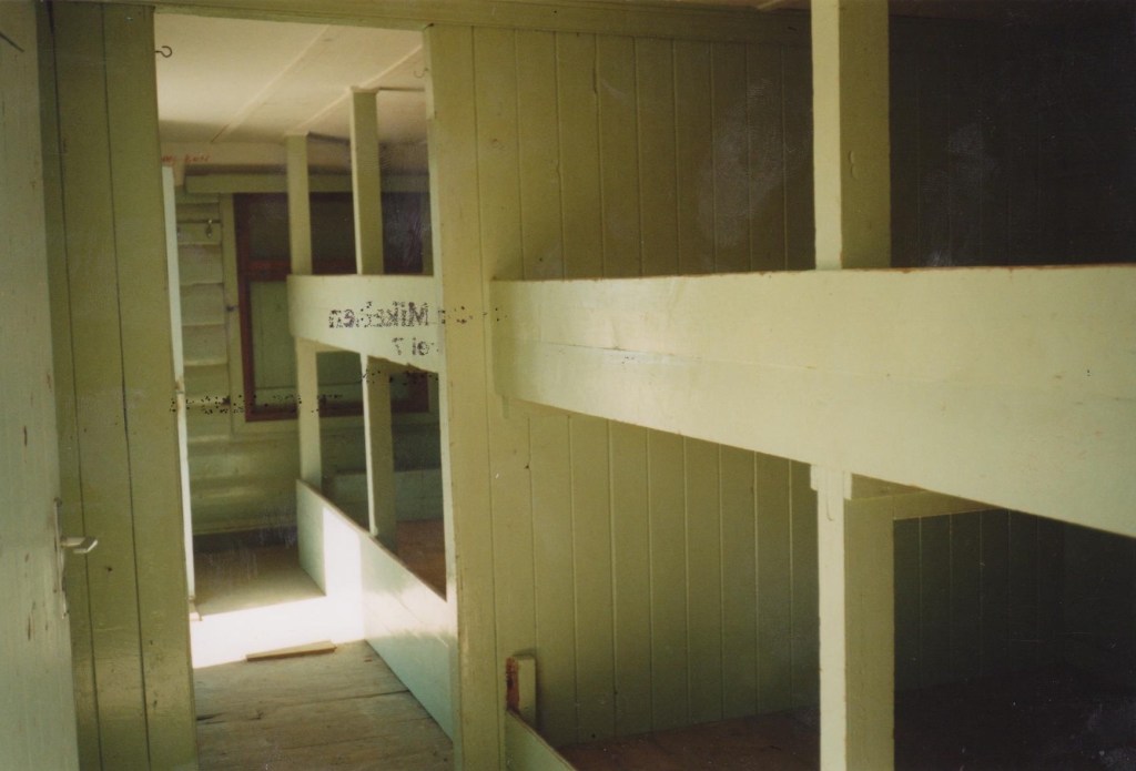
Here are a few photo’s of how Luderitz looked like in 1997, before the large port facility was built. It also shows some picture of Ministry of Fisheries and Marine Resources, at Shark Island, where I worked and lived. One of my nearest neighbor was a rescued penguin 🙂 the “Kegelbahn” (bowling hall) at “Kapps konzert u ball sal” was reserved for men, only, so there was little to do in town at that time, as we neither was allowed to leave the city to go into the dunes.
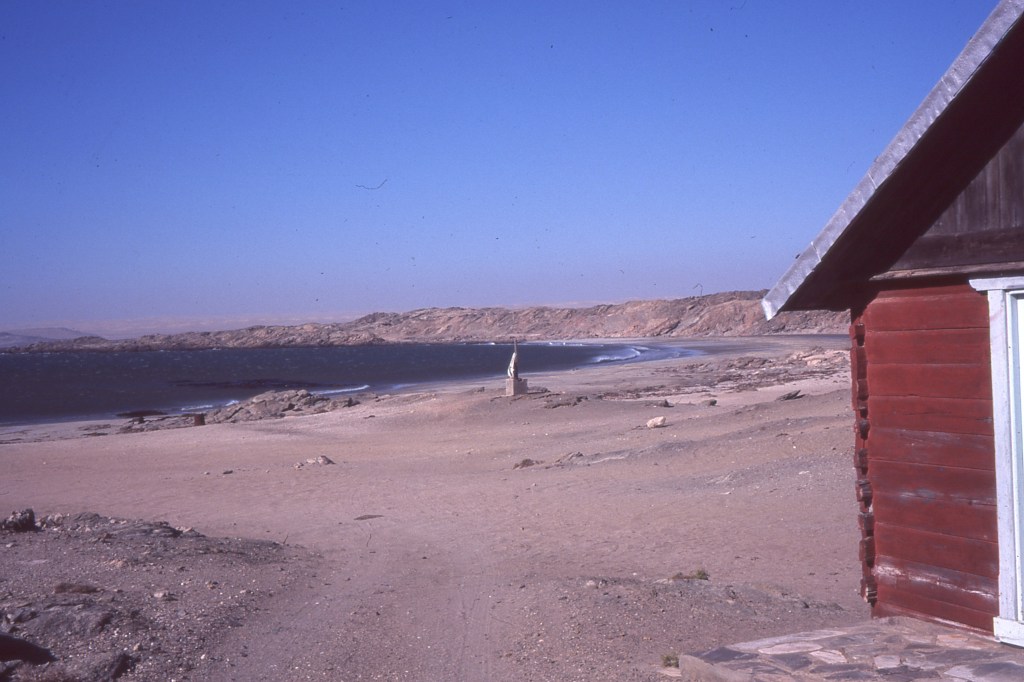
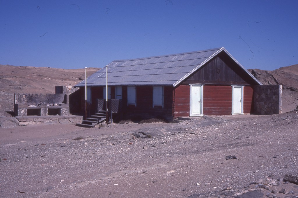
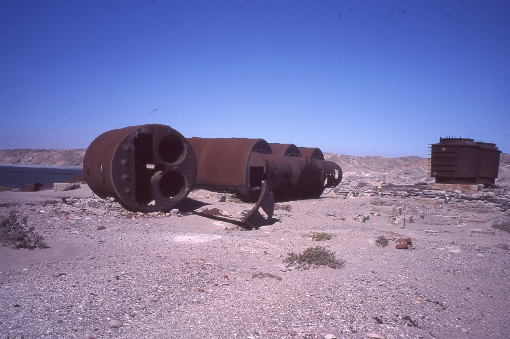
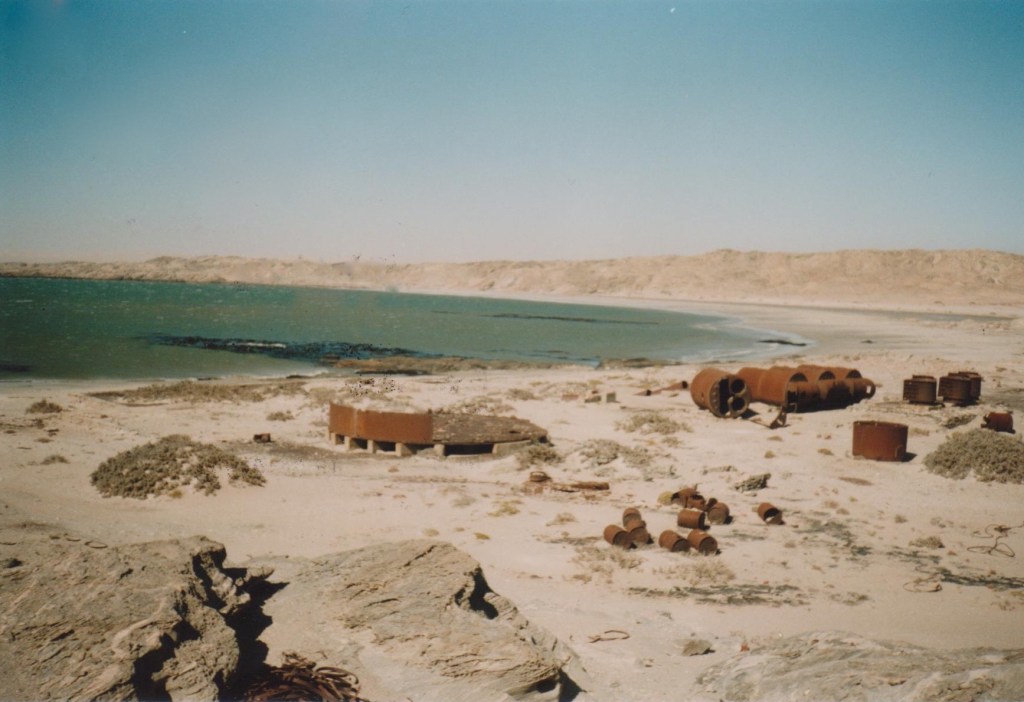
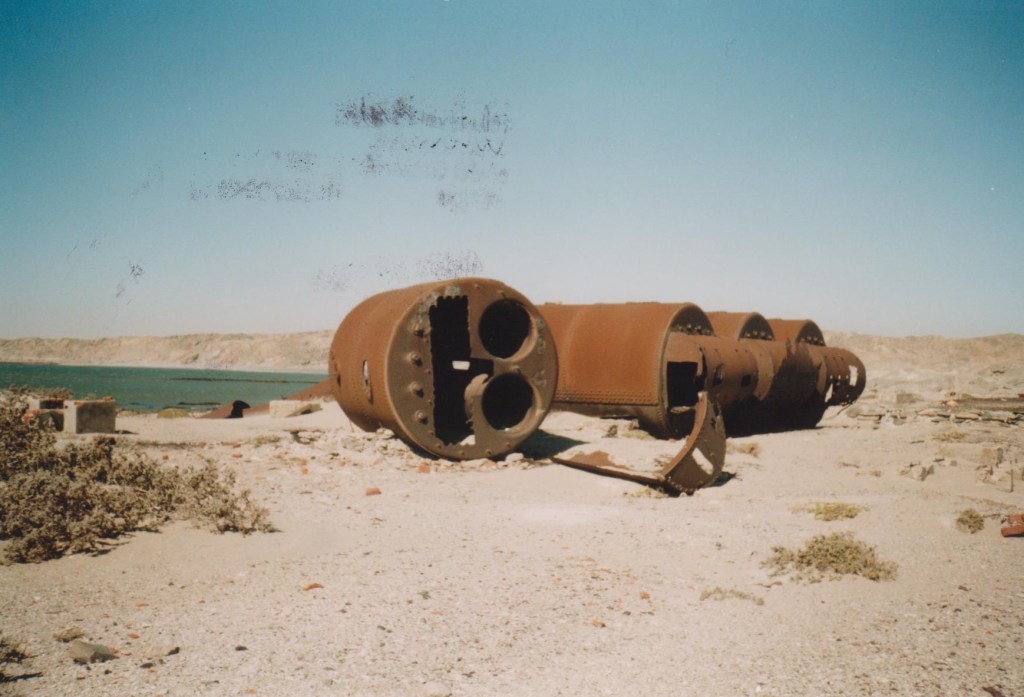
One place, we were allowed was “the peninsula” area, where “Grosse bucht” and “Sturmvogelbucht” was located. Sturmvogelbucht was my favourite. A long white beach, all to myself (at least until the wind started). At one end, there was an abandoned Norwegian Whale station, with a wooden cabin built in Norwegian “lafte”-styl and with bunk-beds inside. You can learn more about Norwegian whaling history of you visit the Whaling museum in Sandefjord/ Norway.
I did not have time to visit Sturmvogelbucht this time, but asked at the tourist information, if the cabin was still there and possible to visit and they said it was still possible to go there, even though not marked with signs. I thus made sure to get a map.
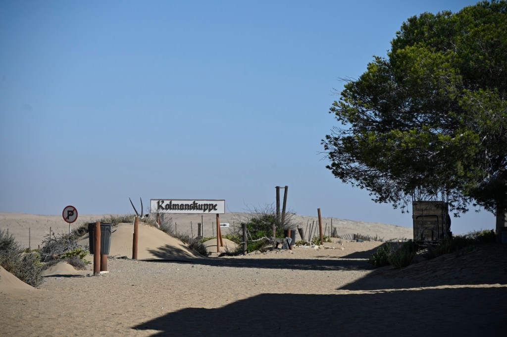
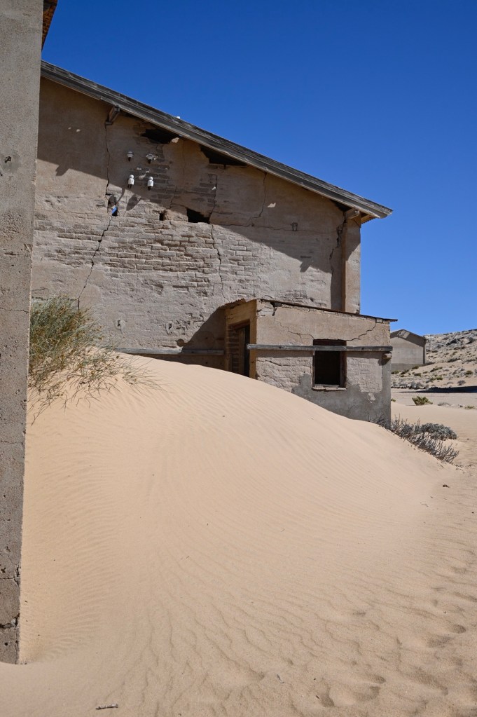
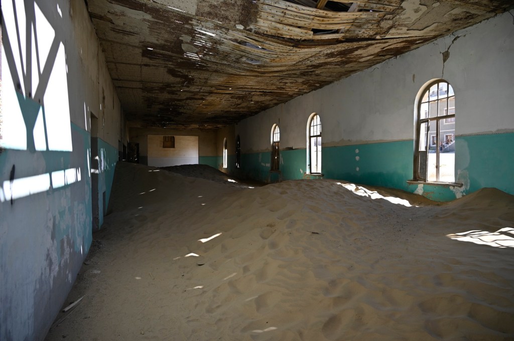
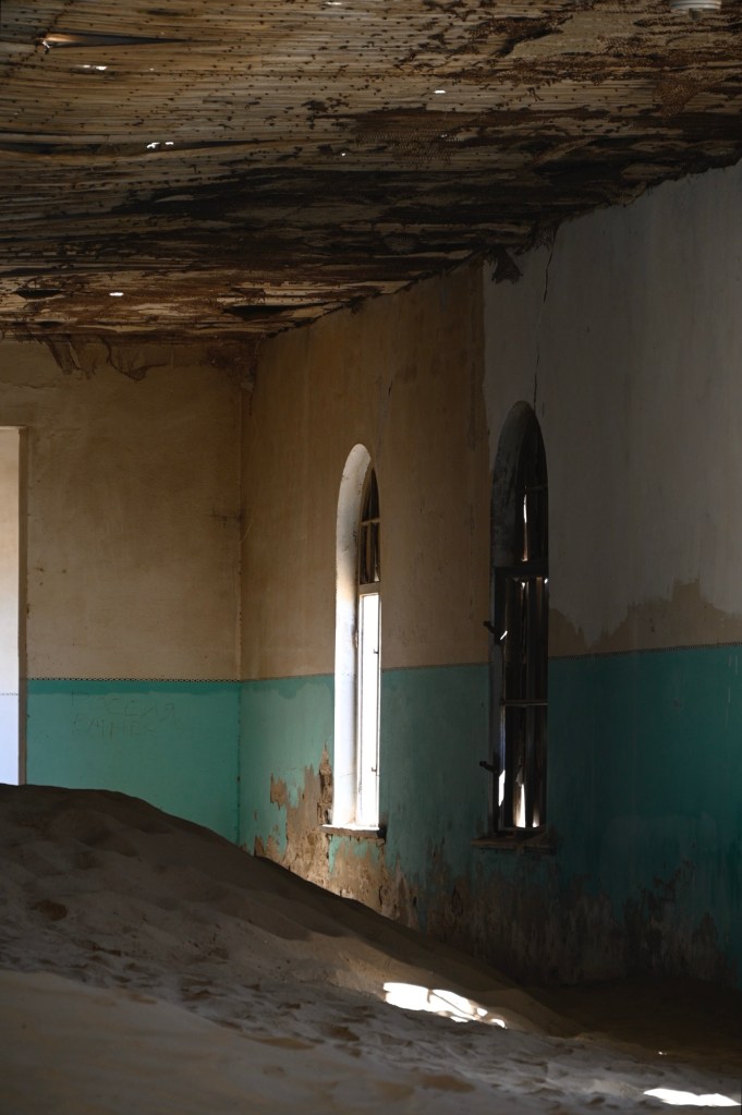
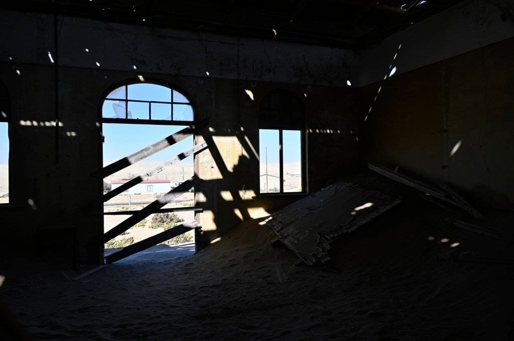
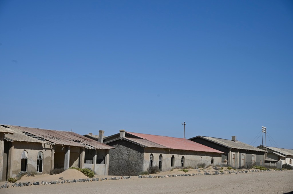
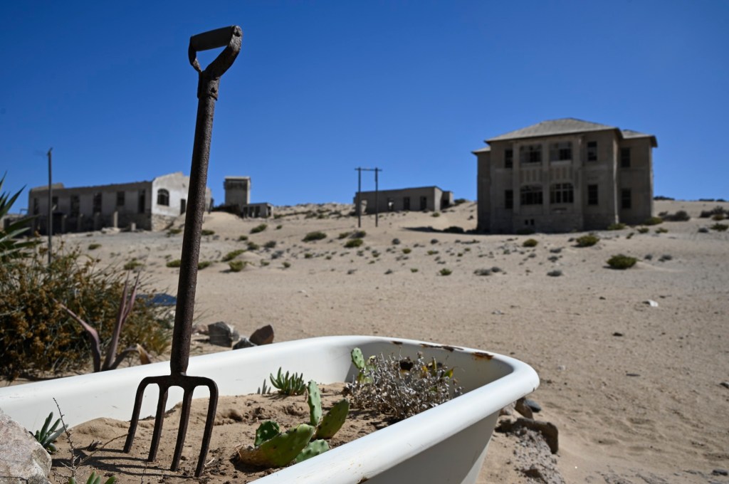
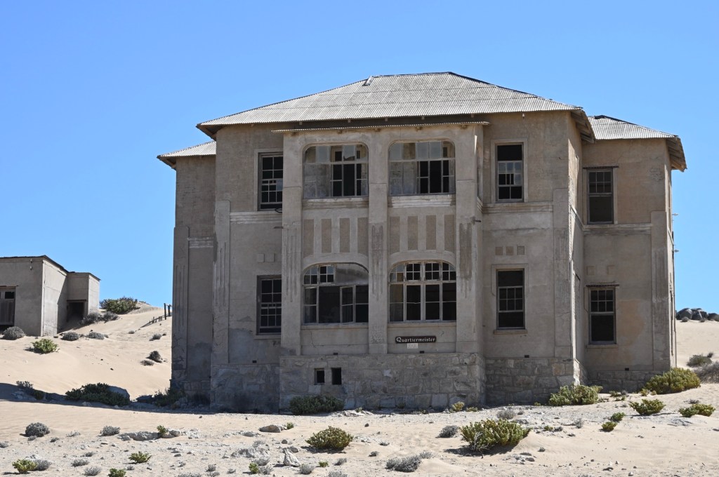
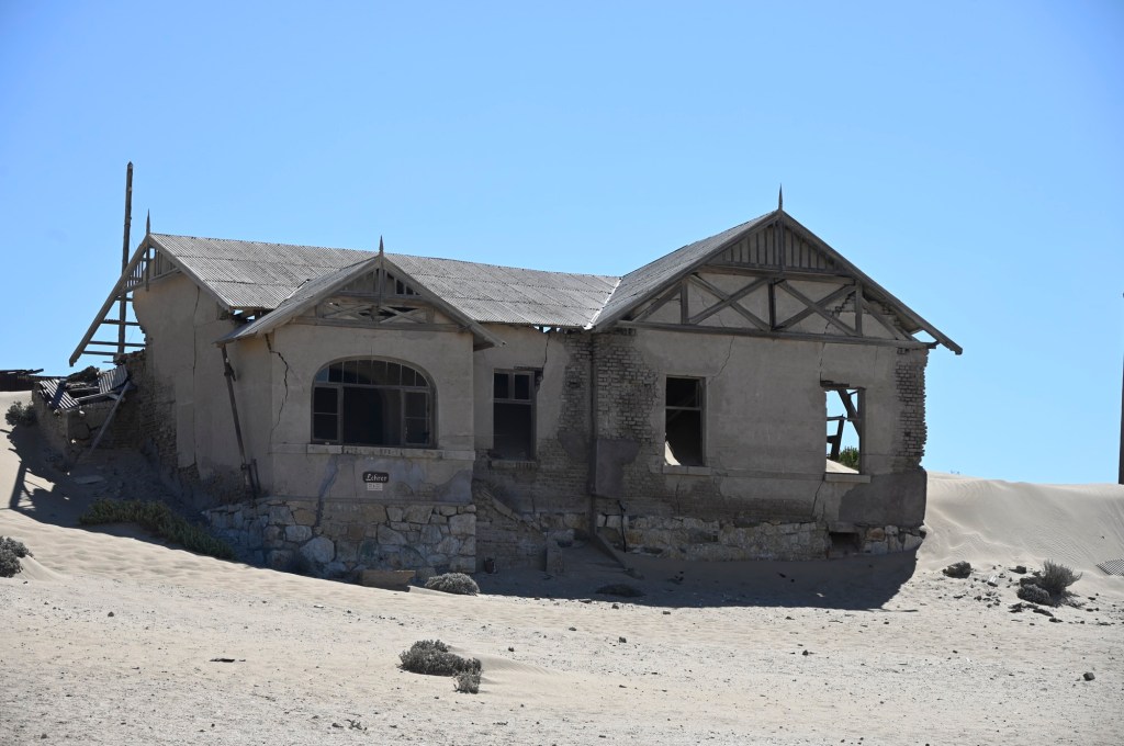
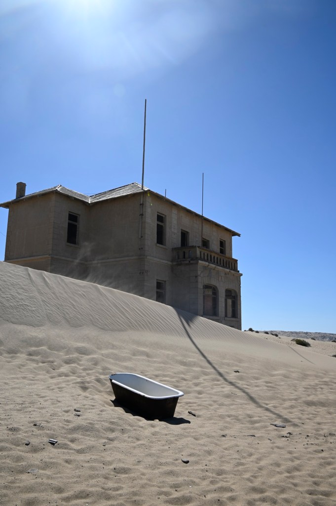
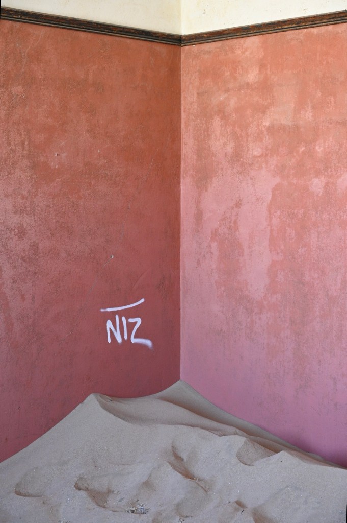
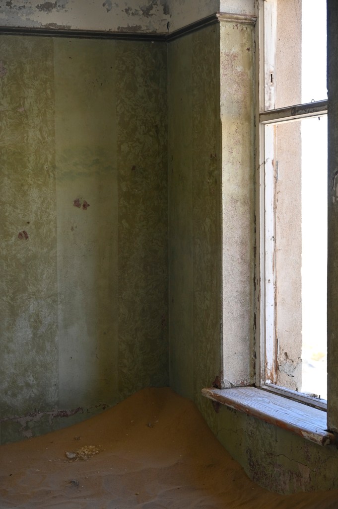
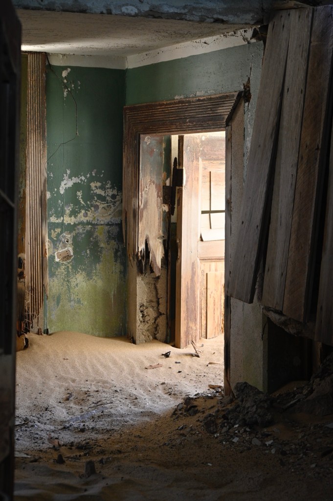
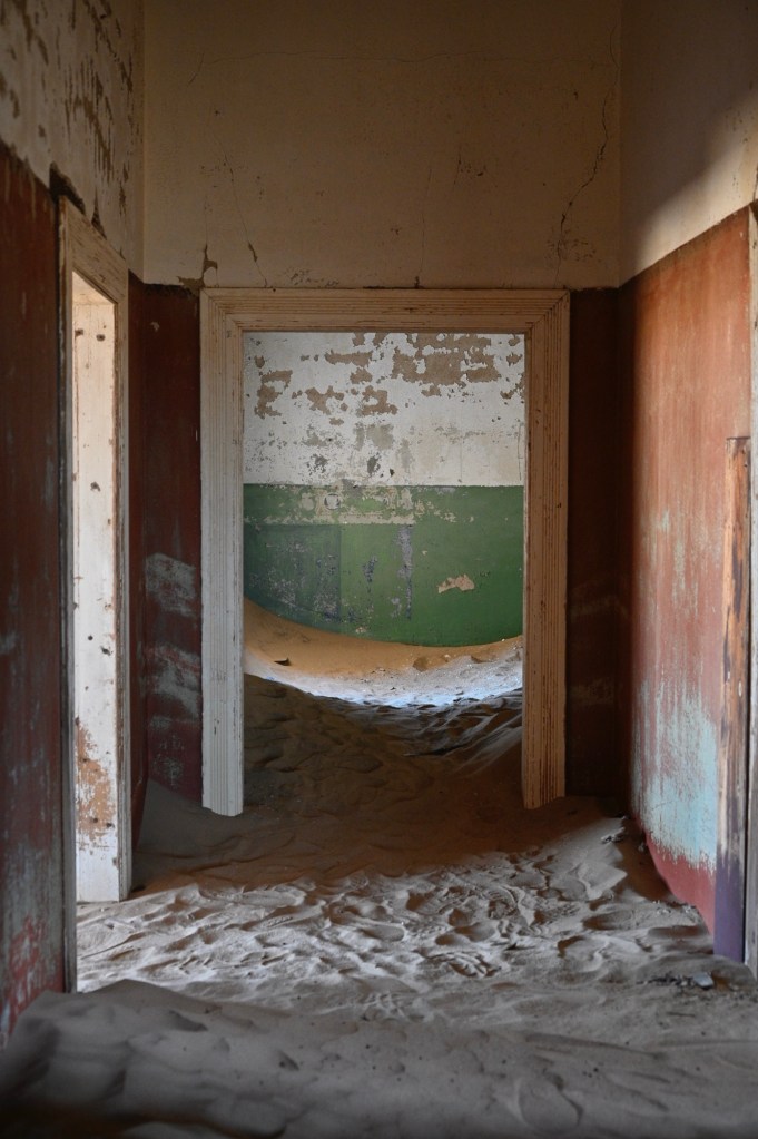
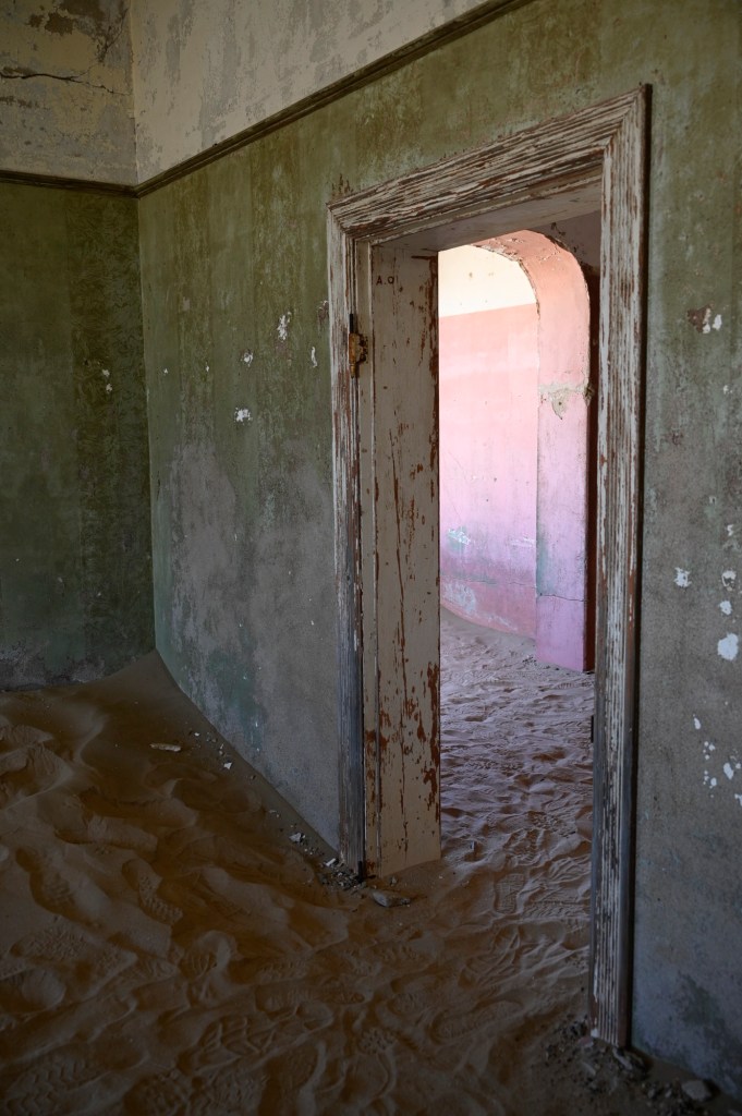
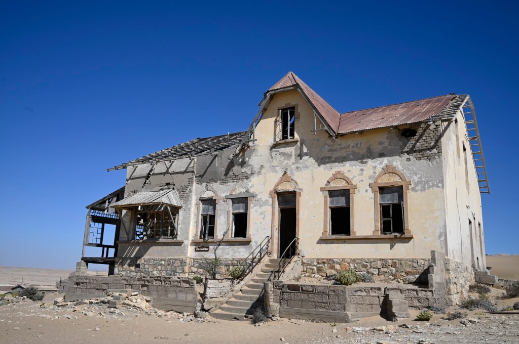
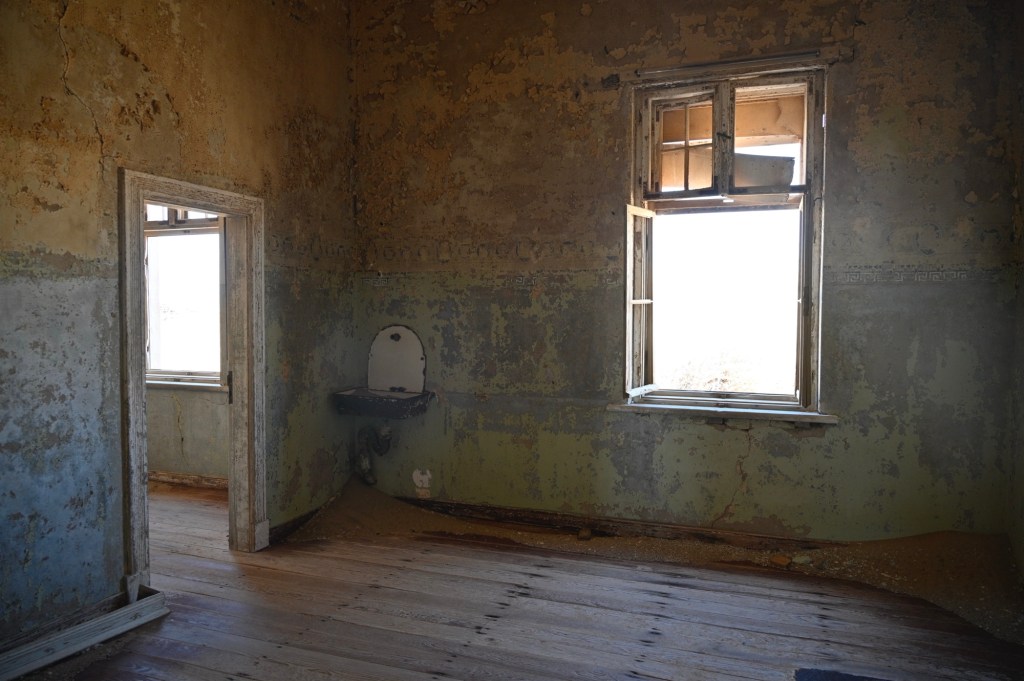
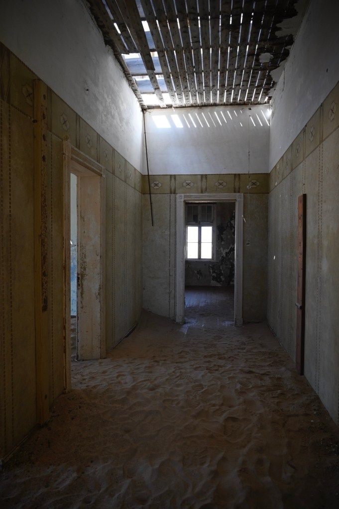
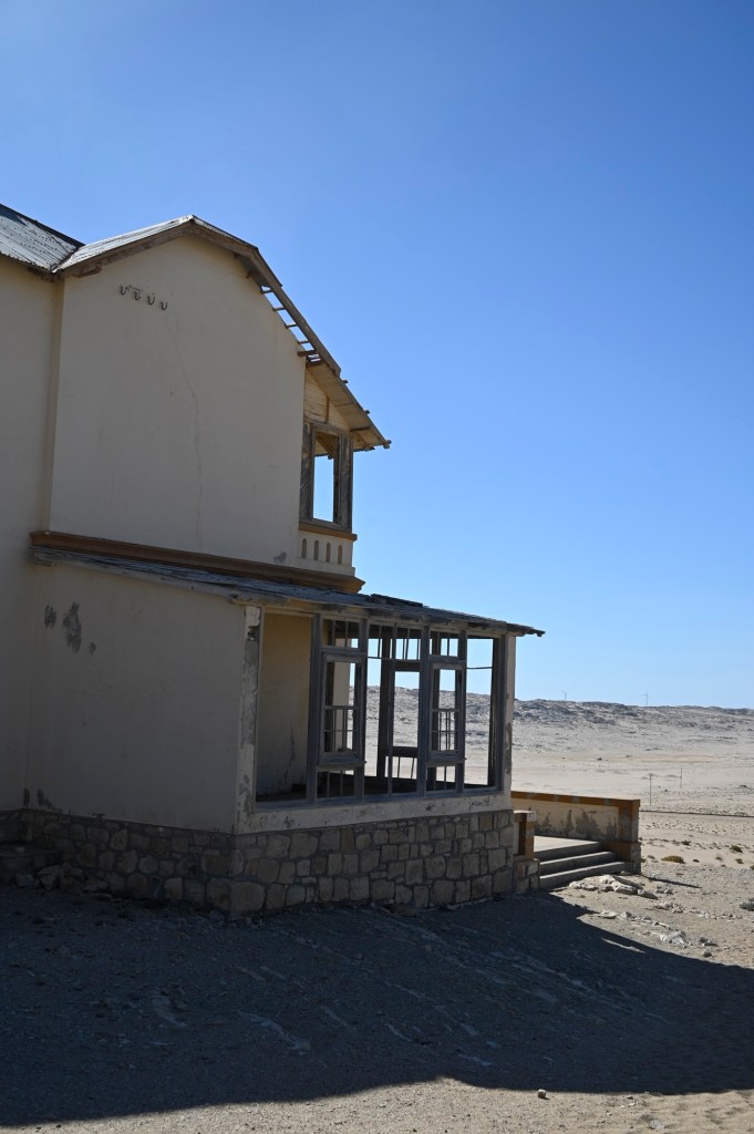
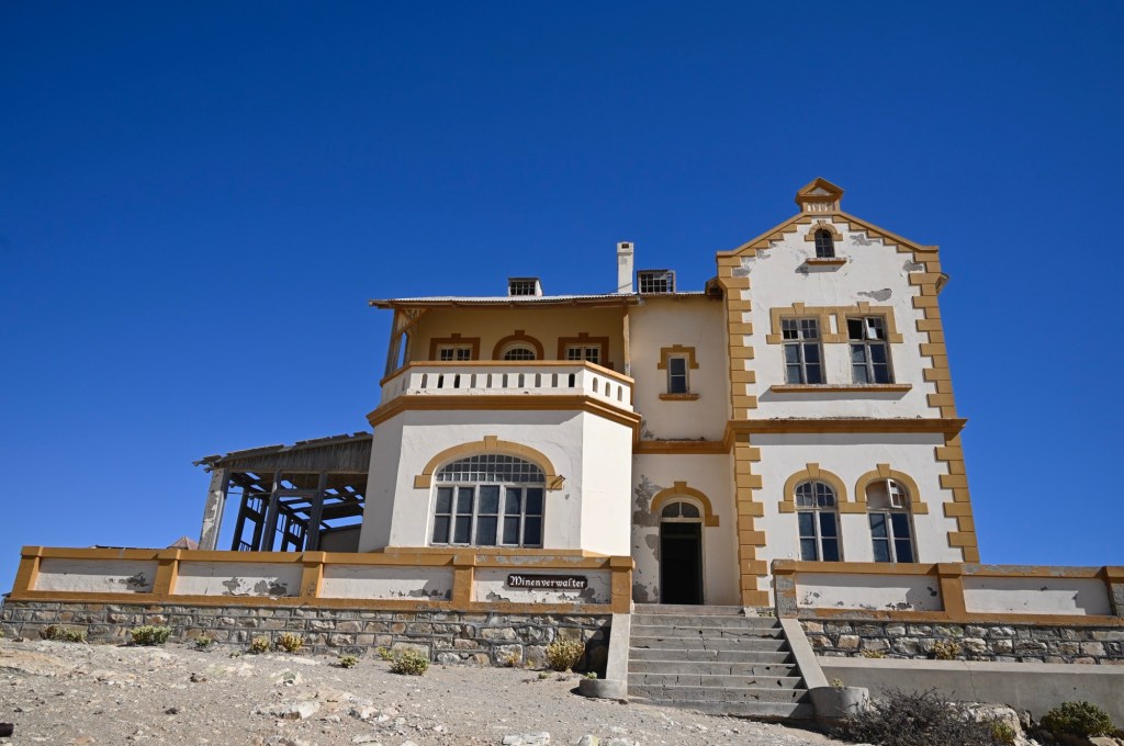
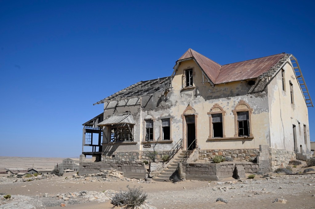
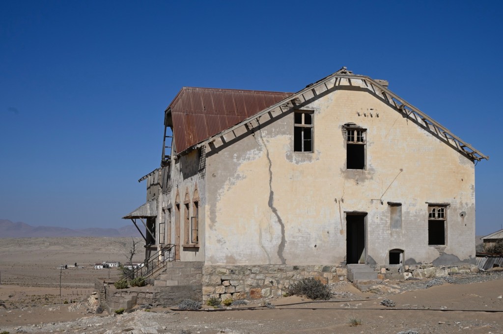
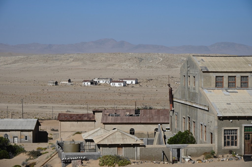
Kolmanskop
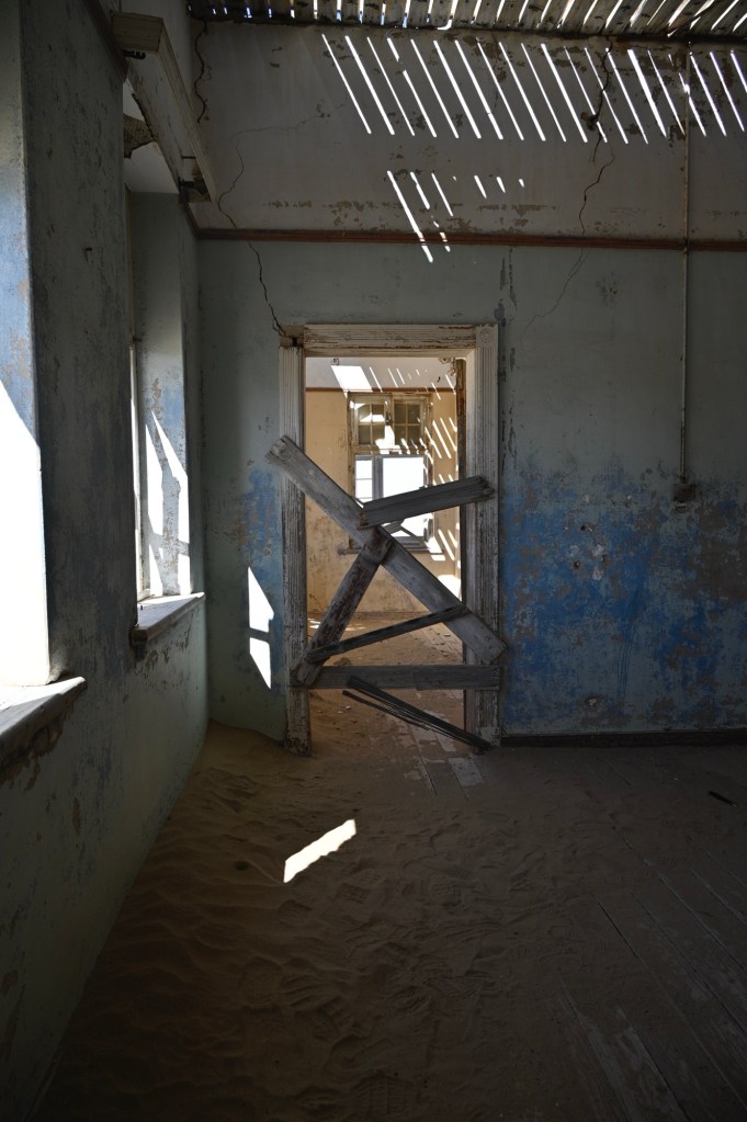
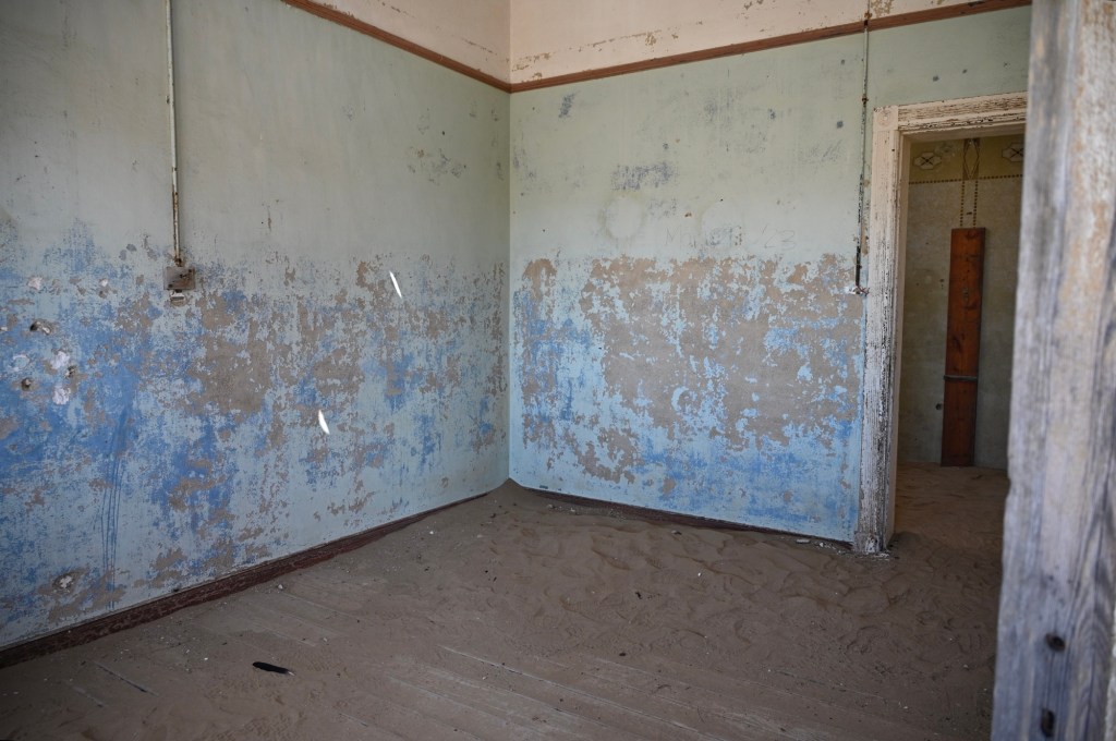
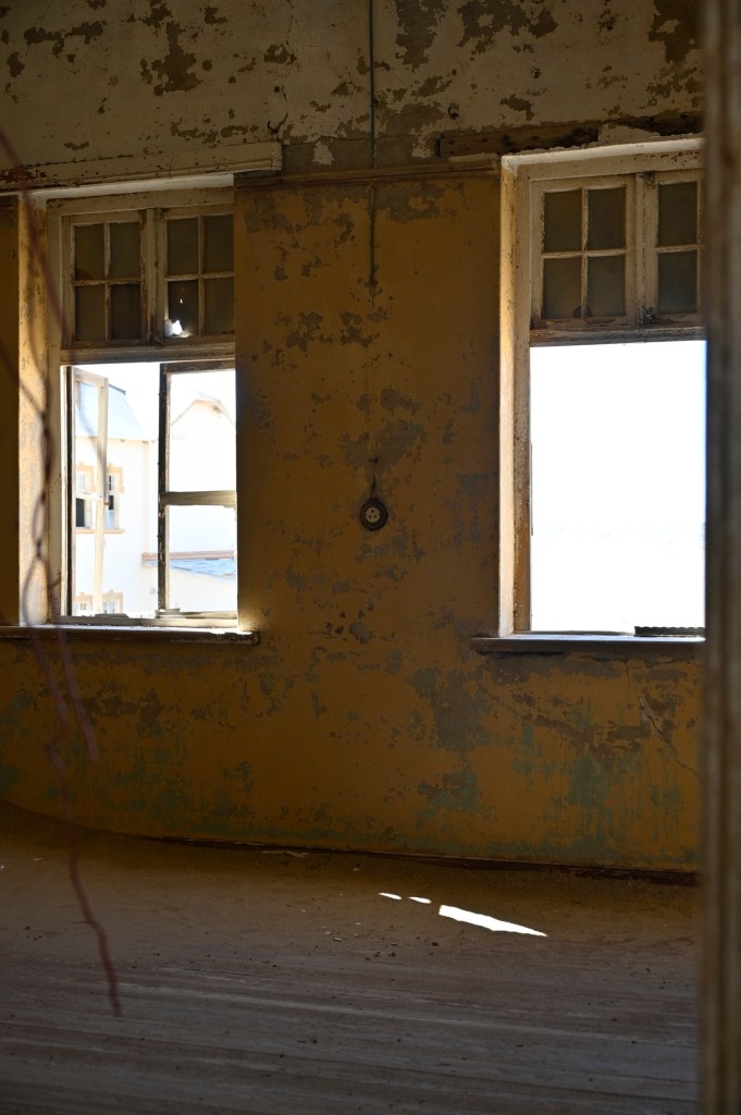
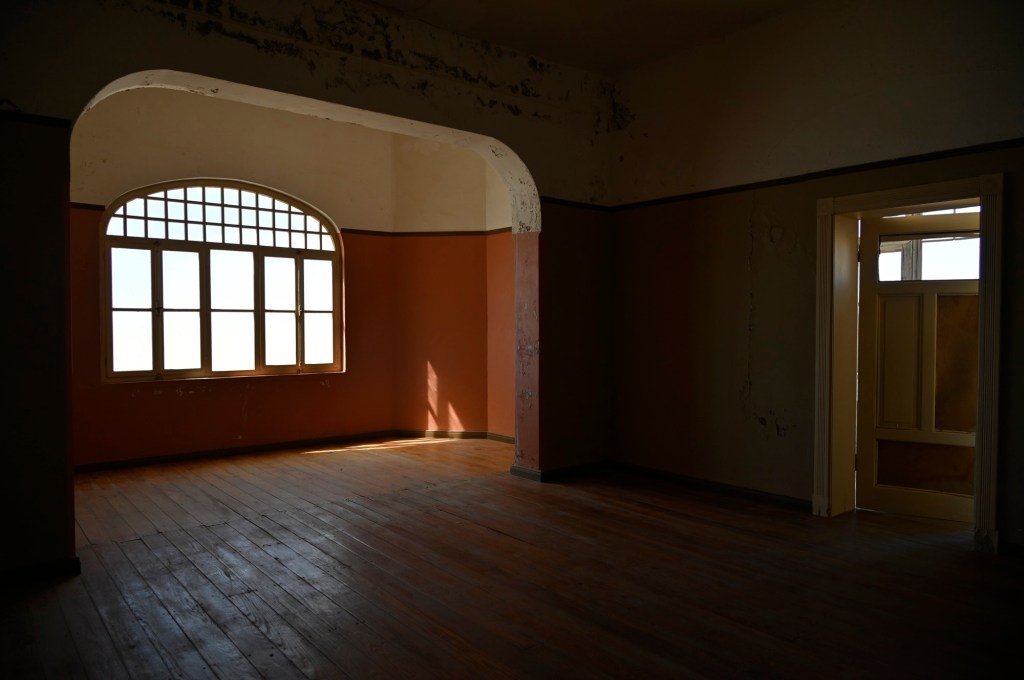
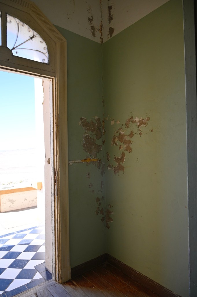
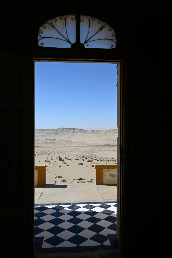
Kolmanskop or Kolmanskuppe, as it’s often called, is an abandoned “diamond-city” some kilometers into the desert from Lüderitz. It used to be extremely rich and had the first x-ray machine south of Sahara. Stories has it that they were bathing in Champagne and they had a theatre performing operas, a bowling hall and in the night, they went out in the sand with torches to look for diamonds in the sand.
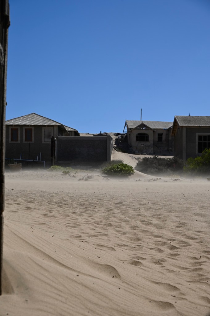
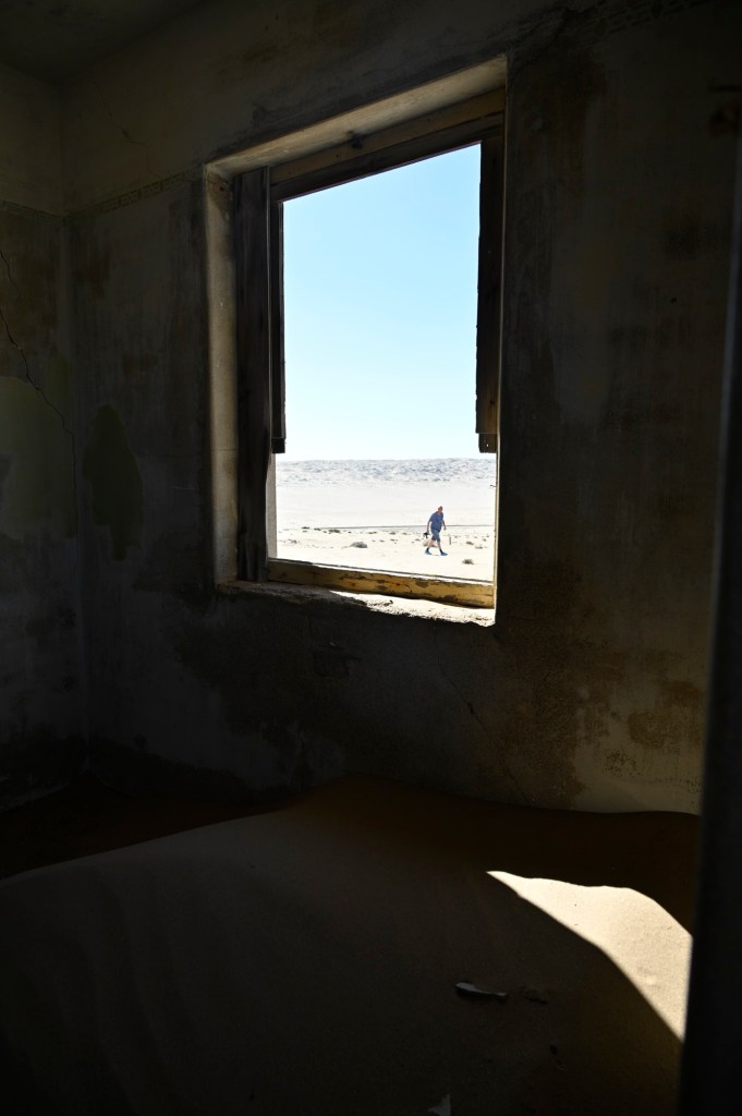
Now the city is abandoned, and totally overtaken by the sand.
We were allowed to visit Kolmanskop in the afternoon, as we purchased a day-ticket. We thought it would take us away from the crowds and bring some nice afternoon light photos, but we had forgotten about the wind and sand and how extremely exhausting it is to be outside struggling to walk when being whipped by sand and getting all of it into your lungs. We got the place to ourselves, but as an advice, I would visited first in the morning, before its too many footsteps in the sand and before it gets difficult breathing, walking and keeping your camera equipment safe.


Leave a comment